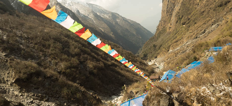
ABC Day 06 - Chomrong to Bamboo
Leaving Chomrong
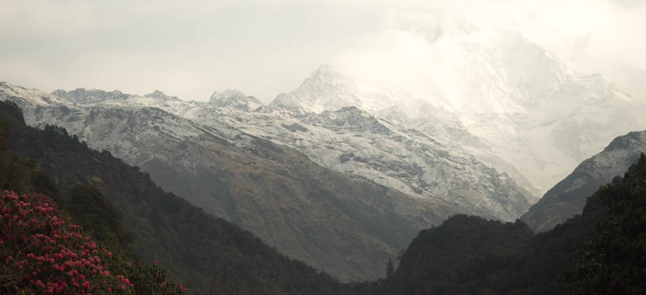
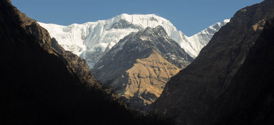
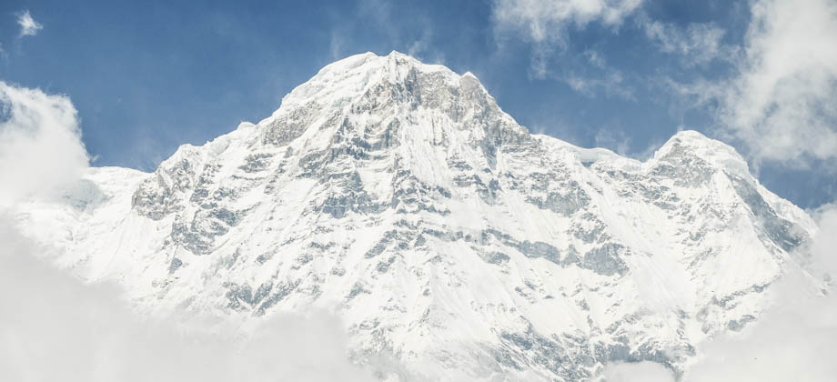
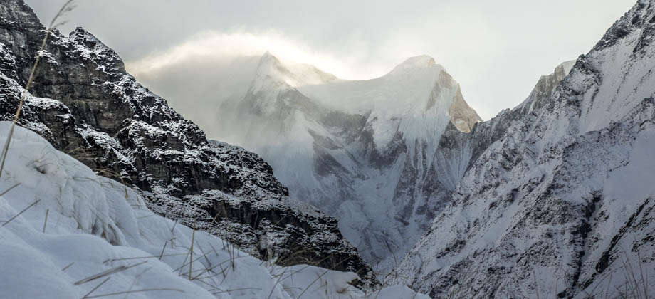
That morning, I awoke to some marvelous views of Annapurna South (
elevation : 7219 m) and Hiunchuli (
elevation : 6441 m). The soft morning light cast crepuscular rays skimming over the mountains to the east, before they lit up Annapurna South in their golden glow. The mountains seemed so incredibly close, so much so that I felt that all I had to do to touch them was to just reach out my hand. The valley to the north that led up to the
Annapurna Sanctuary could also clearly be seen. The valley had been carved by the mighty Modi Khola over the eons and the thought of walking along it in the days to come left me feeling somewhat exhilarated.
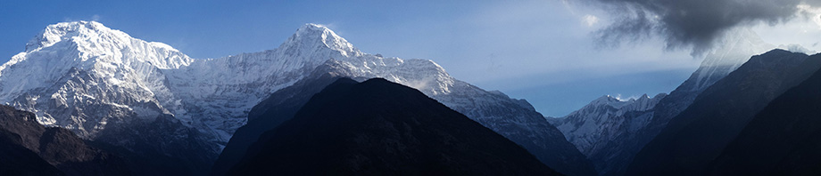 Annapurna South & Hiunchuli basking in the soft morning light on the left; the
Modi Khola valley still in shadows on the right. Hovering the cursor over the
image above will show you the view when I arrived in Chomrong the day before
I left the guesthouse just before 08:00, and began the long decent down the valley past the rest of Chomrong's 15 guesthouses. I made the mandatory stop at the TIMS checkpoint, and took note of all the information that was displayed there, such as the weather, temperature (it was
-5 degrees Celsius up in
ABC), as well as the levels of snowfall. There were several junctions beyond this point, and despite all the markings and arrows that indicated the right path, I came upon other solo hikers who still seemed to take the wrong turns. I continued on after running down the path to call some of them back.
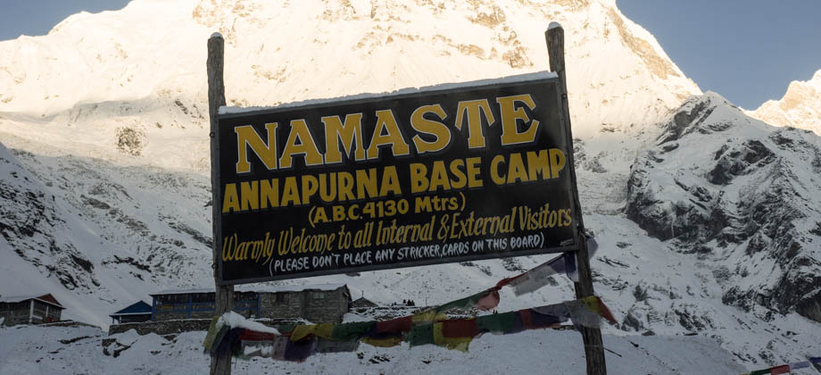
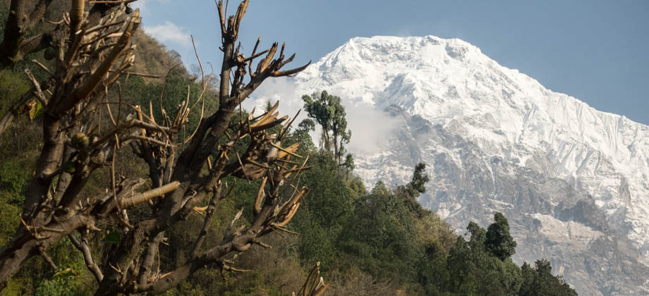
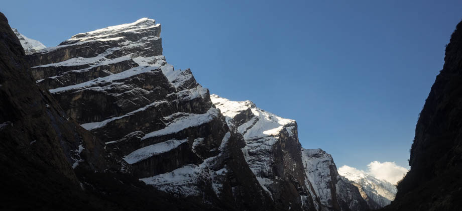
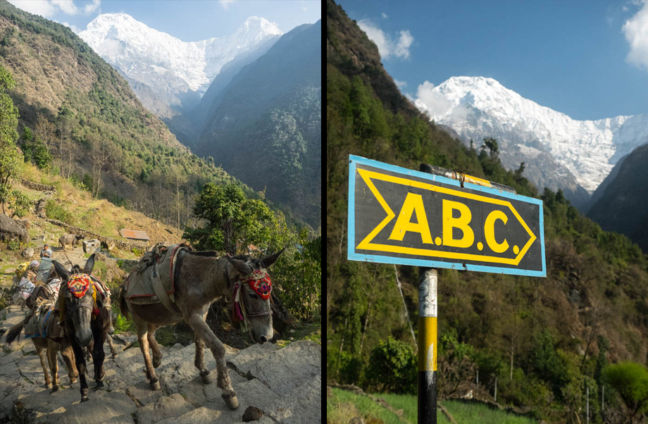 Annapurna South (elevation : 7219 m) and Hiunchuli (elevation : 6441 m); ABC signage
 Annapurna South (elevation : 7219 m)
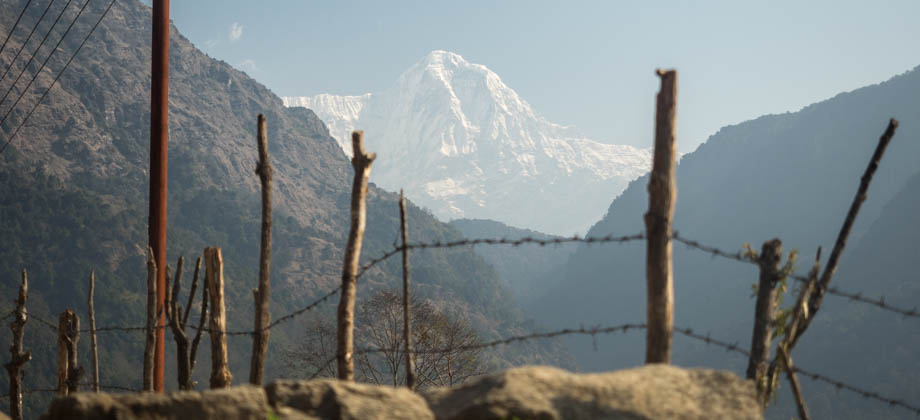
The steps descended down into the valley so far that eventually even mighty Annapurna South disappeared from my view. At the bottom of the valley, the trail made its way along the metal bridge that straddled the Chomrong Khola, which lay one and a half kilometres from Chomrong Town centre. Where the mountain views once dominated the senses, the roar of the river down below had now taken over. The stairs then made a steep ascent up the slopes all the way to the village of Sinuwa. The decent down to the river and the climb back up had taken about an hour, whereas the online estimates had claimed that the section takes closer to two hours. Looking back down the valley southwards, the village of Jhinnu Dandha was glimpsed, and the peaks of Machapuchare were seen far off to the north.
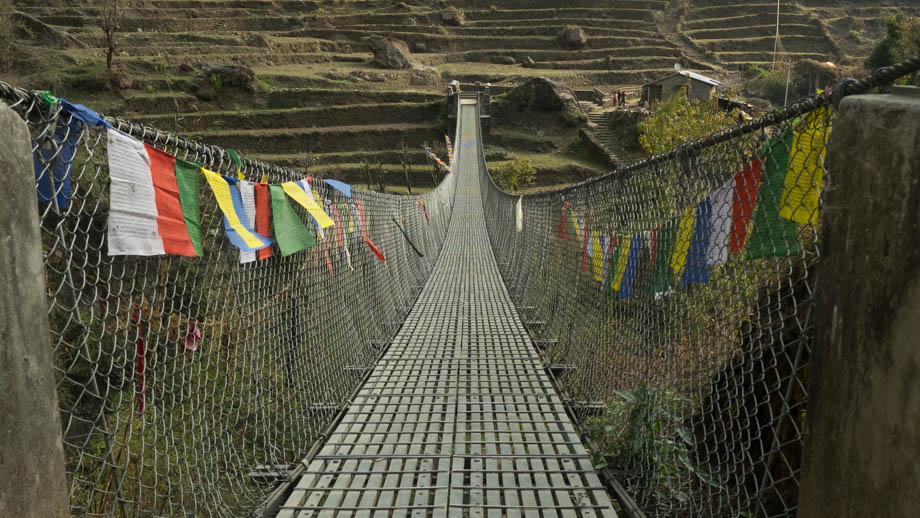 Crossing the Chomrong Khola, with the stairwell seen in the upper right corner
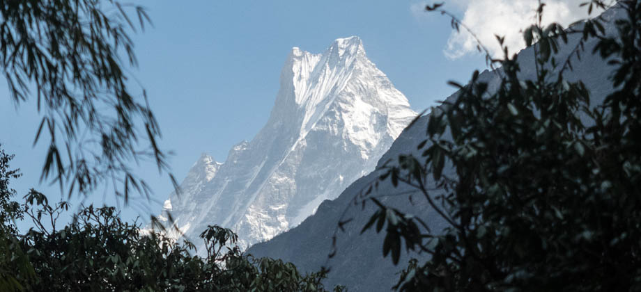
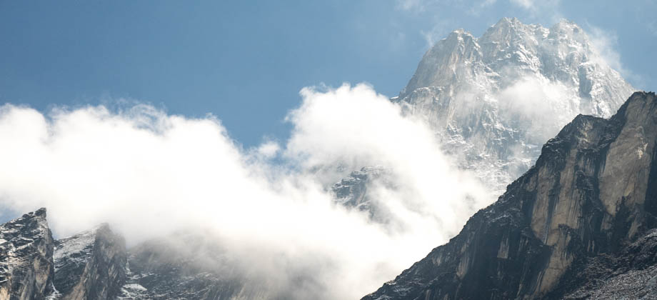
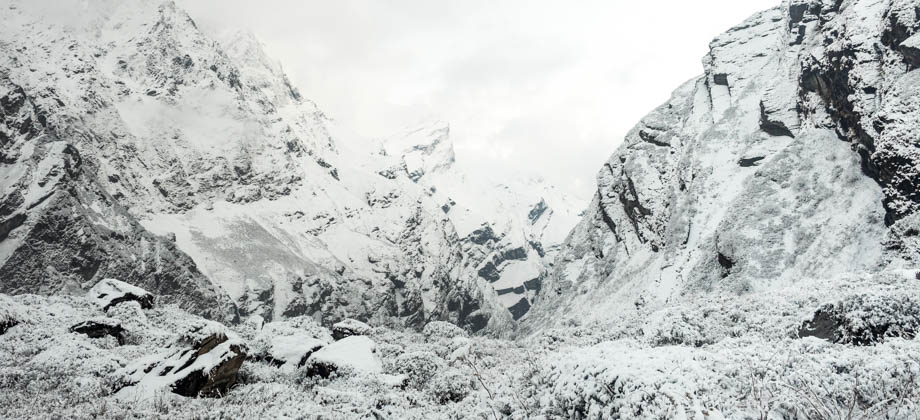
The trail entered the upper Modi Khola Valley through forests of rhododendron
(Rhododendron arboreum) and oak
(Quercus sp.), while bamboo shoots lined the sides. The twittering of birds were abundant here, and I was very glad to once again be surrounded by their melodic tunes. Machapuchare led the way far up ahead, its twin peaks only occasionally glimpsed through the gaps in the foliage.
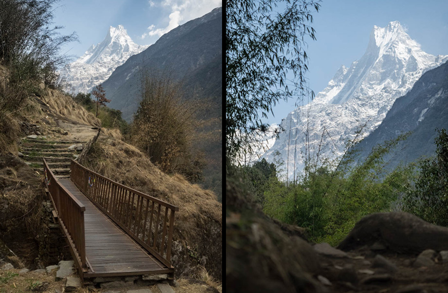 Machapuchare (elevation : 6997 m) seen through bamboo shoots
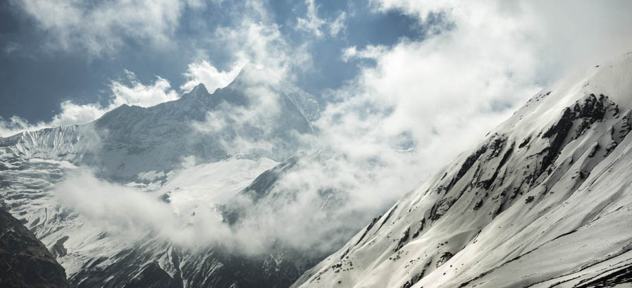
The forest gave way to a clearing approximately 5 kilometres in, and the magnificent views of the mountains were now clearly visible up the valley. The villages of Bamboo (
elevation : 2310 m) and Dobhan (
elevation : 2600 m) could also be seen in the distance, just tiny clusters of colorful dots way down below.