March 17, 2013
Posted by Ramon in Broadleaf Rainforests, Class 1, Day Hike, Forests, Hiking, IUCN Protected Category 2, Malaysia, Mountains, Selangor, Tropical Rainforest, Waterfalls
Broadleaf Rainforests
0
0
March 10, 2013
Posted by Ramon in Broadleaf Rainforests, Coastlines, Islands, IUCN Protected Category 2, Johor, Kayaking, Malaysia, Sunrise & Sunset, Tropical Rainforest
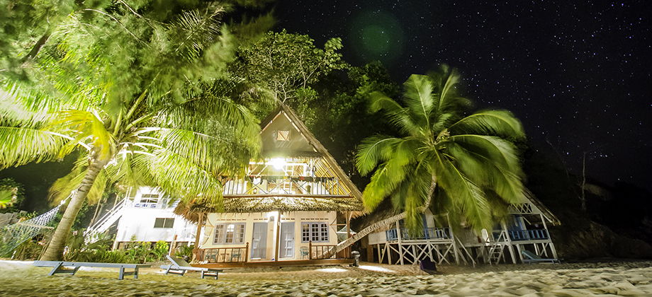
Rawa Island
The relatively unknown island of Rawa in Johor is different from many Malaysian islands that I have been to in the sense that it is owned by the Johor Royal family and that your entire stay at the island is paid for in a package that includes two nights of accommodation, the boat transfers to and from the island back to Mersing, and all the meals (from dinner the evening of arrival to lunch the day of departure). I would Read more0
March 9, 2013
Posted by Ramon in Broadleaf Rainforests, Class 3, Day Hike, Forests, Hiking, IUCN Protected Category 6, Malaysia, Mountains, Selangor, Tropical Rainforest, Waterfalls
Saga Hill & Waterfall
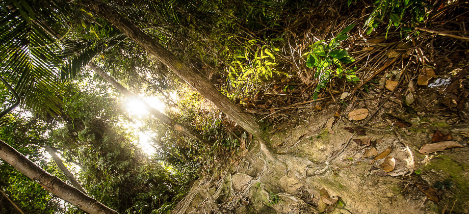
Saga Hill was a pretty straightforward trek compared to almost everything else that I had done before. Despite the pace being very slow as the fairly large group had a lot of beginners, the peak was reached with roughly a half hour of steady trekking. The trail up to the peak lacked a view however but due to the low level of difficulty and its proximity to the city center, it is optimal for those who are either new to trekking Read more0
March 1, 2013
Posted by Ramon in Broadleaf Rainforests, Budget, Class 5, Day Hike, Hiking, Indonesia, IUCN Protected Category 2, Jawa Timur, Looped Hike, Mountains, National Parks, Tropical Monsoon, UNESCO, Volcanoes
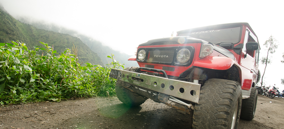
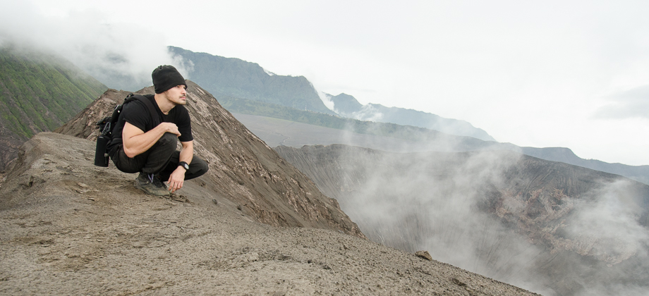
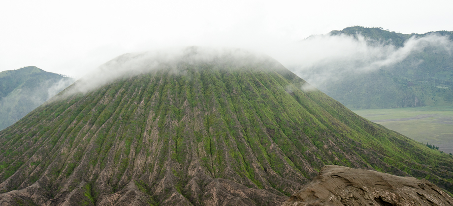
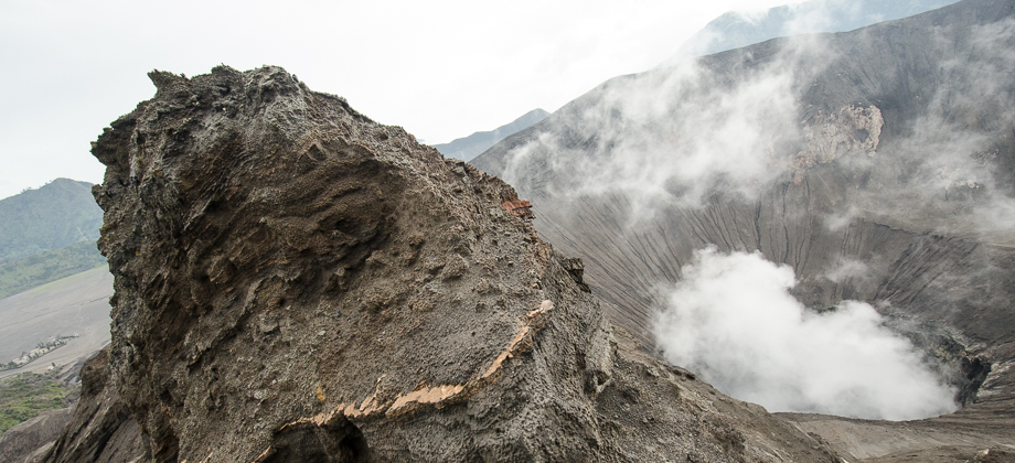
Mount Bromo
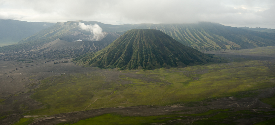
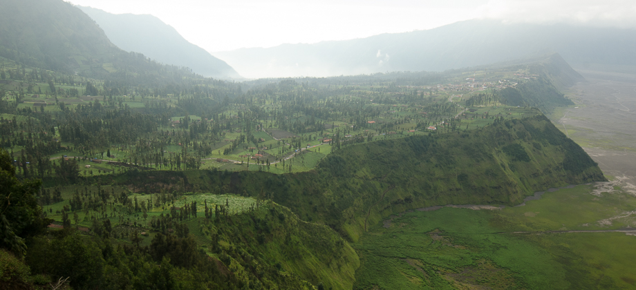
I had read up a bit on Surabaya prior to the Bromo trip and because it was reputed to be mainly a commercial metropolitan area without many attractions, I had decided to instead head straight for Probolinggo which lies about 45 kilometres from the Bromo-Tengger-Semeru National Park on the north coast of East Java. To get to Probolinggo from Juanda International Airport, I had to board a Damri bus that was heading Read more1
February 23, 2013
Posted by Ramon in Broadleaf Rainforests, Class 6, Day Hike, Forests, Hiking, IUCN Protected Category 6, Malaysia, Mountains, Selangor, Tropical Rainforest, Waterfalls
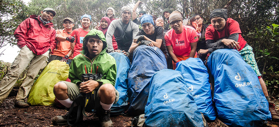
Mount Nuang (Kuala Pangsoon)
The group rose bright and early for the long drive to Kuala Pangsoon in Ulu Langat which lay on the east side of the state of Selangor. The trail for the trek up to the summit of Mount Nuang, which is one of the highest mountains in Selangor, began just before the Sungai Langat Dam at GPS coordinates '3.217420, 101.883090'. Before we go on, please jot down the numbers that are listed below. If you do see any Read more0


