GBB (CUS Connection) - Day 3
Mount Gerah
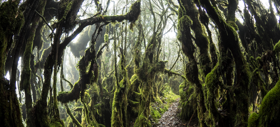
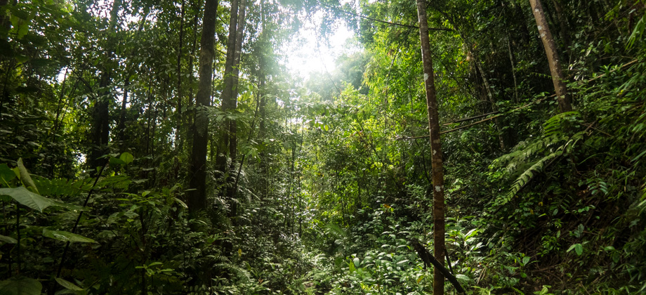
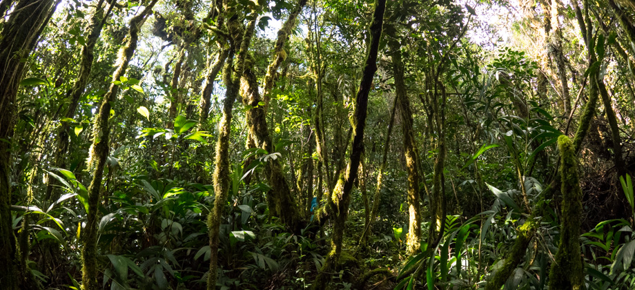
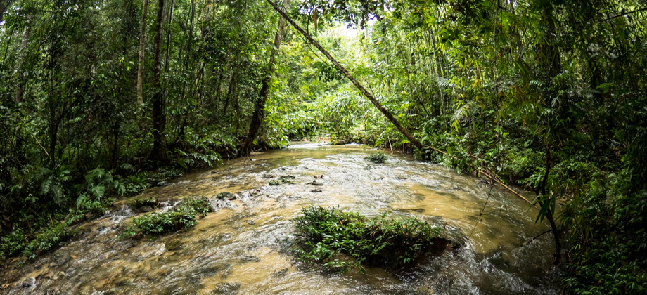
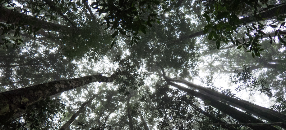
We set off once again after a long lunch break that lasted for more than an hour. From there, the trail ascended once again back into the mossy forest. Just over 6 kilometres in, we reached the junction known as '
Simpang GB' (Gerah-Bilah Junction), where we set down our backpacks once again. This time however, we spent some time to ensure that they were waterproof just in case it were to rain whilst we were gone. From there on--at least to the other two peaks and back to the junction--we were to continue on with just our daypacks, which consisted of only the essentials: water and some snacks, epinephrine, a small first aid kit and survival kit, a headlamp, and rain jacket.
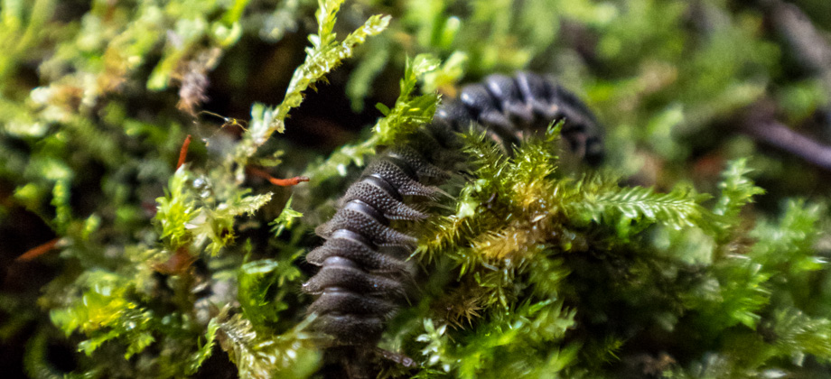
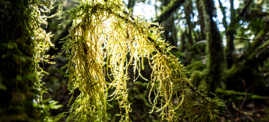
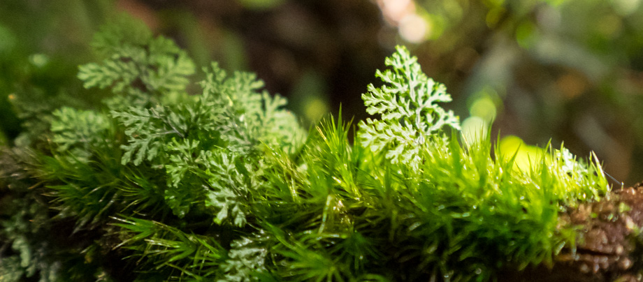 Mounds of fern moss (Thuidium sp.)
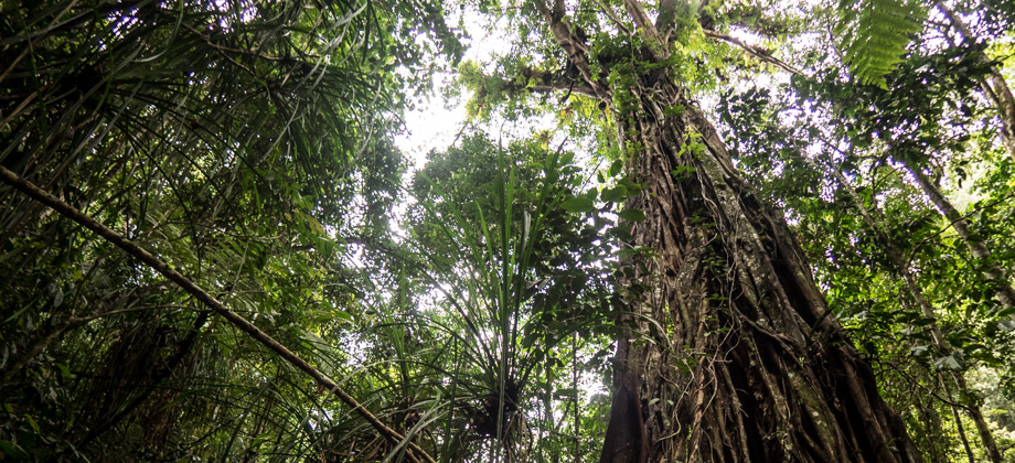
Once our bags were sorted, we took the sharp left turn towards the peak of
Mount Gerah (
elevation : 2103 m), which only took about 15 minutes to reach. The peak consisted of a small clearing that was lined with pitcher plants
(Nepenthes spp.) and a rusty triangulation point, something that the locals call a 'beirut'.
Out of the three so-called 'peaks' of Gerah, Bilah, and Bieh, I consider Mount Gerah to be the only actual mountain, as it just does not make sense that one can scale several mountains just by dropping to a shoulder and then ascending a few hundred metres to another peak. Once you take into consideration the
prominence of each peak instead of its sheer elevation however, the significance of the other two peaks just melts away. One is then only left with the tricky task of determining where exactly to place the prominence 'cut-off'.
* Prominence is defined as the "height of a mountain's summit by the vertical distance between it and the lowest contour line encircling it but containing no higher summit within it", and has been described as an "objective measurement that is strongly correlated with the subjective significance of a summit". Since peaks with high prominence are either the highest point on a massif or an isolated peak, they also tend to have the best views!
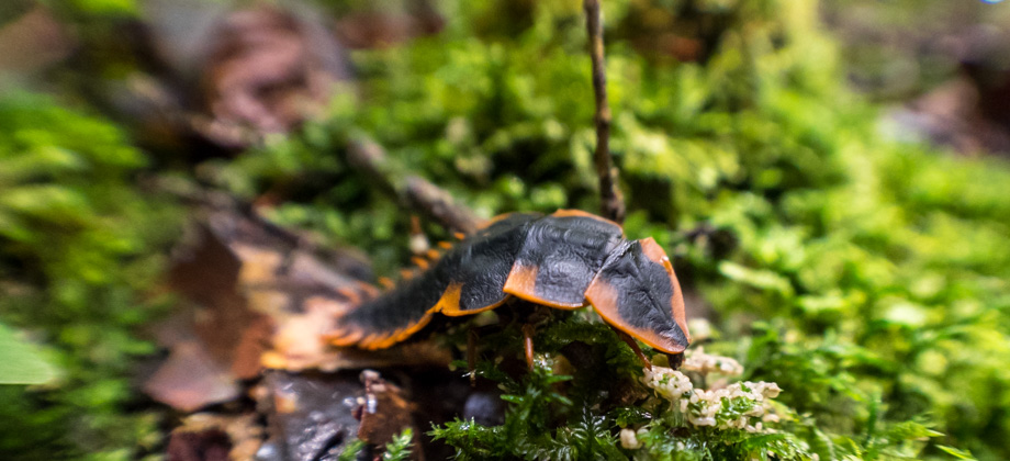
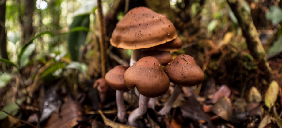
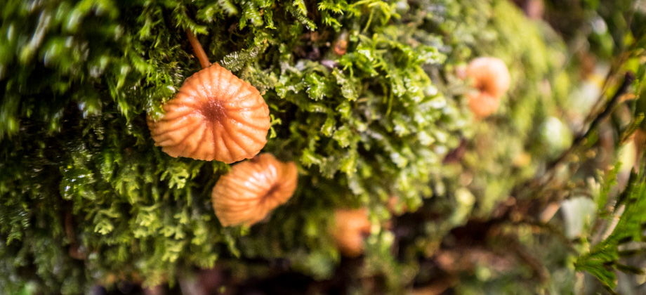
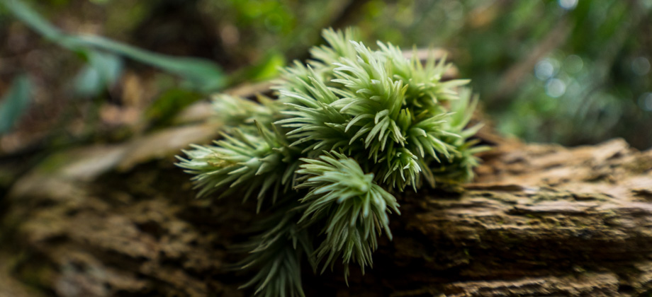
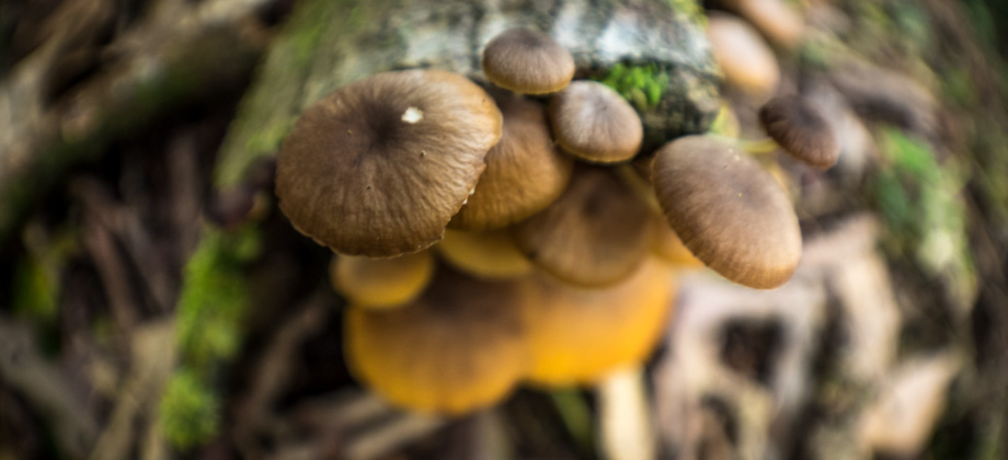
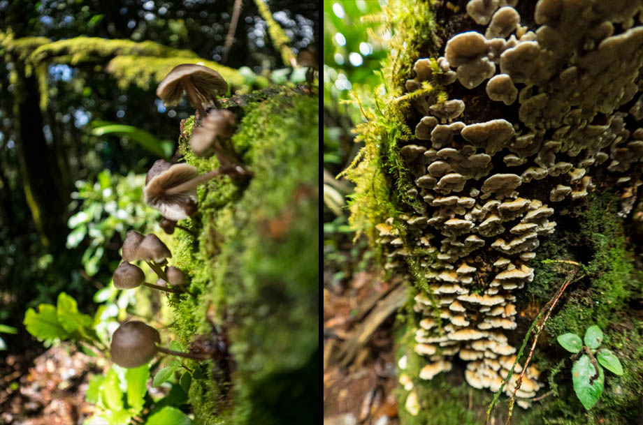 Mushrooms--epiphytes or parasites?
It began to rain again just after we reached Gerah's peak. We continued straight ahead and through the tight tunnels of moss that enveloped the trail. A mist had descended and a stiff breeze had begun to sift through from the north. Our heads were bowed low to avoid the rain as we trudged quickly along the trail all the way up to
Mount Bieh (
elevation : 2073 m). We then turned all the way around and began to walk back the way we came. The walk between the two peaks took about 50 minutes.
It was dark by the time we reached the Gerah-Bilah junction and collected our backpacks. Our headlamps created cones of light in the rain, and each and every step that we took would shorten the stretched out shadows that had faded in from the darkness in front of us. We eventually passed the junction to '
False Gerah' and continued on in the darkness towards '
Sarsi Camp', which took us almost three hours to get to from the junction.
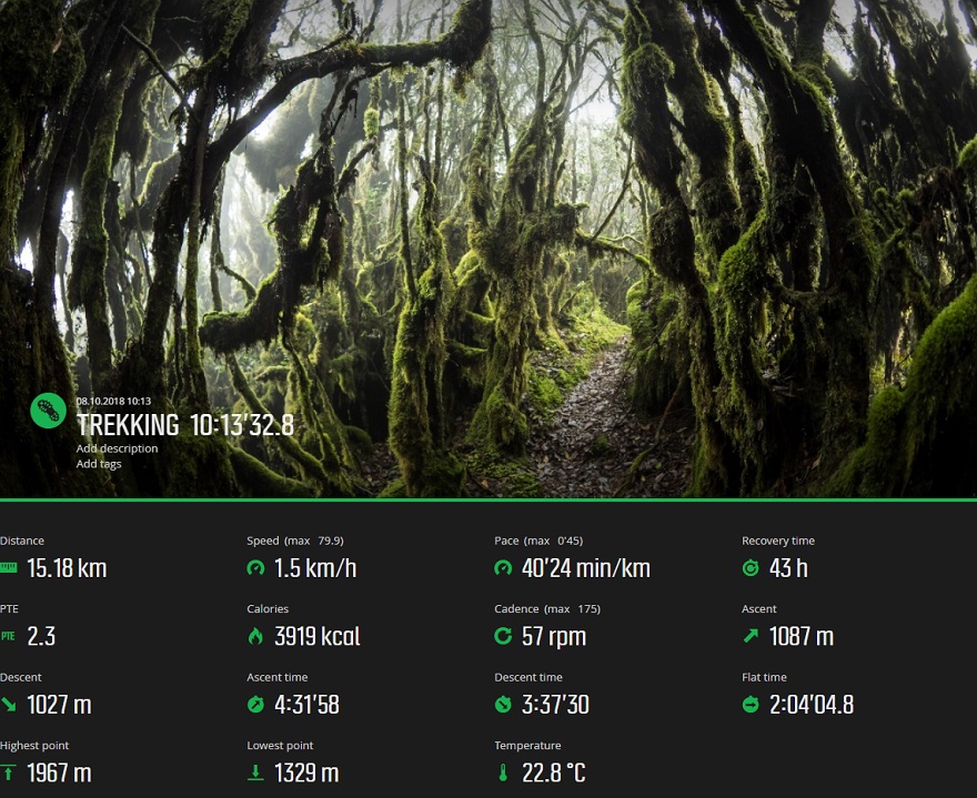
Suunto Movescount Stats
 Download GPX file here (right click and save link as)


")
 - Day 2")
 - Day 4")