ACT Day 12 - Yak Kharka to High Camp
Thorong Phedi
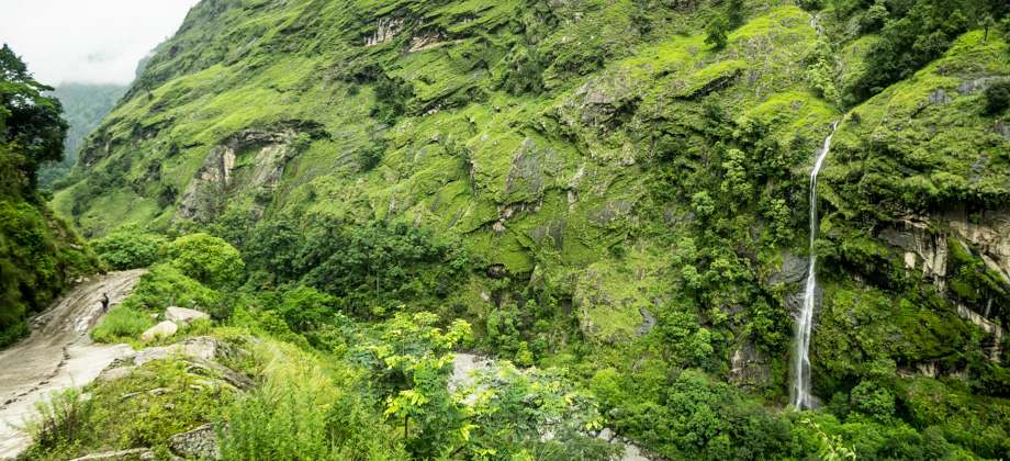
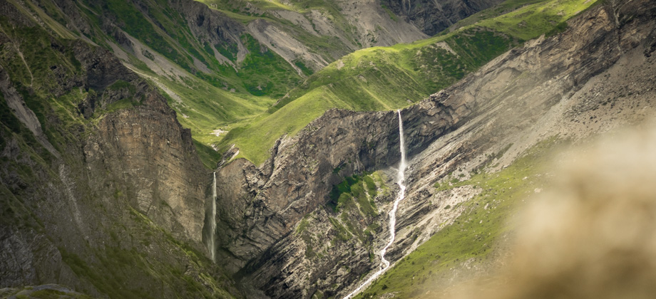
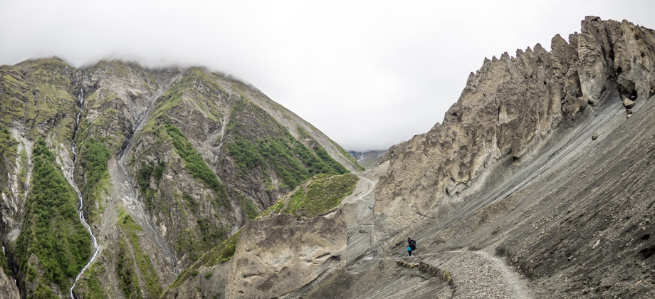
It was almost midday by the time we set off once again, so we decided to just snack for lunch--alternating between home-made trail mix and crunchy 'tropical' granola. We reached the suspension bridge that crossed the Kone Khola approximately four kilometres in, and then passed the magnificent waterfall that was partially obscured by a ridge that had been plagued by rockfall. The waterfall was so large that watching the huge volume of water plummet down hundreds of metres to the river below was quite mesmerising. The trail that continued straight ahead up the valley (instead of crossing the bridge) was apparently more risky and passed large areas that were prone to rockfall, so we decided to follow the red and white NATT trail markers which took us down to the suspension bridge and across the river to the other side of the valley.
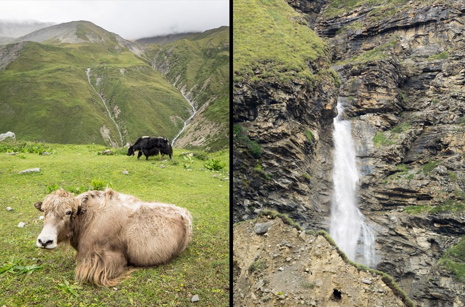 Yaks (Bos grunniens) grazing on the slopes; the waterfall
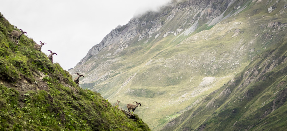
The trail now followed the left side of the valley as it made its way northwards, and wound its way up the slopes before passing two seasonal tea-houses. The trail entered a landslide-prone area five kilometres in, which would end up lasting all the way to Thorong Phedi. On the other side of the valley, Himalayan blue sheep
(Pseudois nayaur) could be seen scampering nimbly up and down the steep slopes, oftentimes with unbelievable dexterity. The source of the Kone Khola revealed itself soon after--a huge waterfall that plunged down from between the narrow clefts in the barren and desolate cliffs.
 Looking north up the valley just before we reached the hamlet of Thorong Phedi
We finally reached Thorong Phedi

(
elevation : 4450 m) (which means "Foot of the Hill") at the 6.4 km mark. The trail that ascended the slopes to High Camp (
elevation : 4925 m) began just outside the front gates of the hamlet and climbed up the slopes to the left towards the solitary hotel known as 'Hotel New Hilltop'. As we ascended, I could not resist glancing back at the imposing layers of deformed stratified rocks behind me. Lines of trails zig-zagged and intersected across the grassy slopes near the base of the cliffs, and way above them was the towering waterfall that flung water out into the air before it plummeted down to the cliffs below.
 The rocky pinnacles that lie to the west of Thorong Phedi
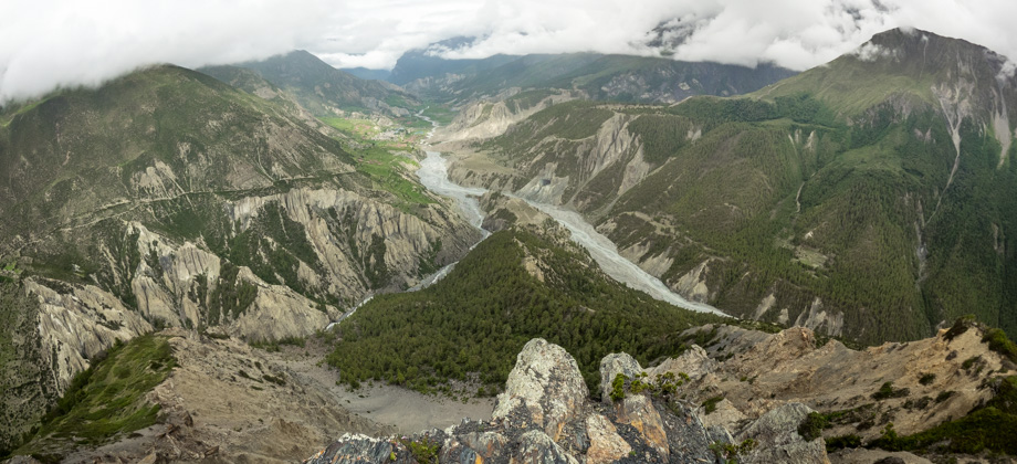
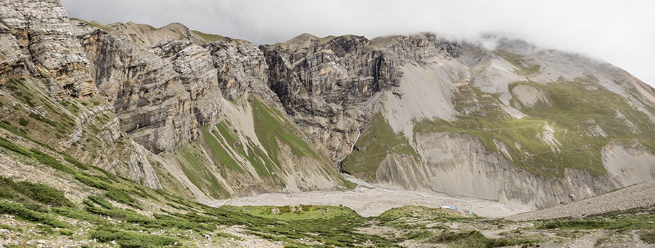 Looking east after climbing up past Thorong Phedi. The hamletcan be seen near the bottom of the valley towards the right of the image


