


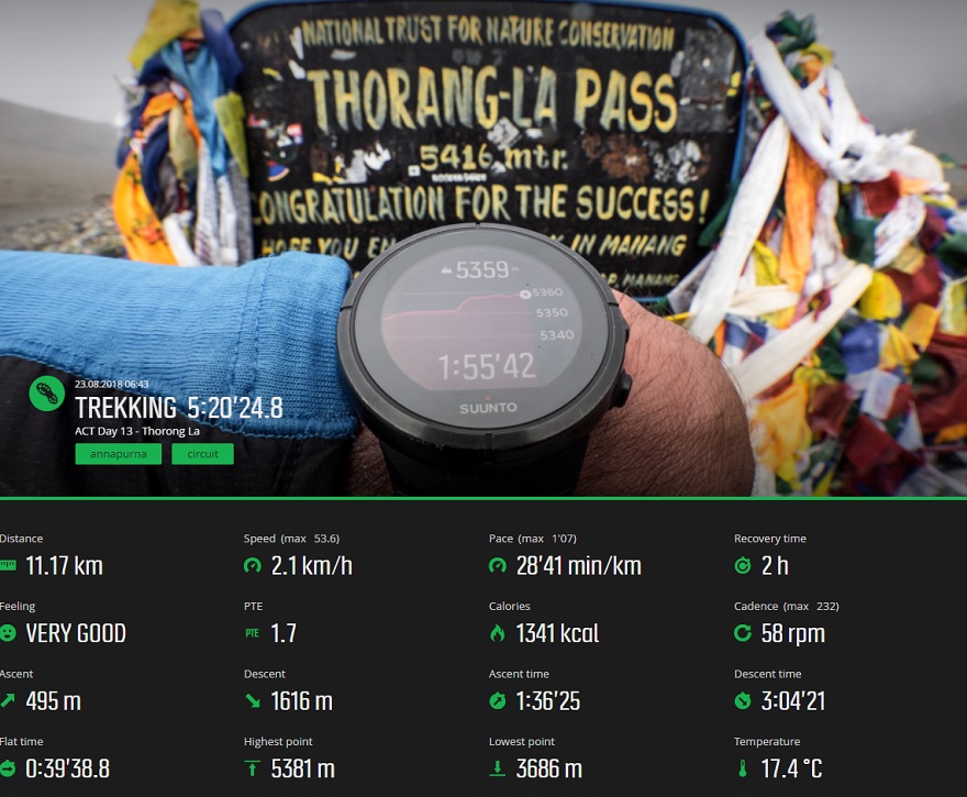
ACT Day 13 - Thorong La Pass
Descent
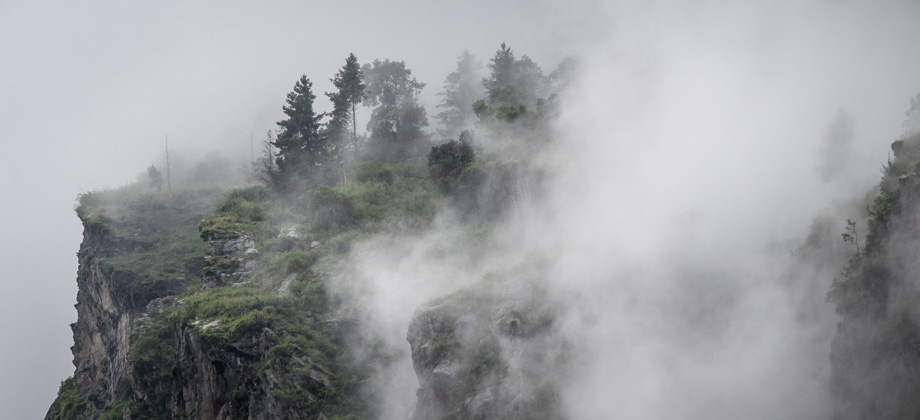
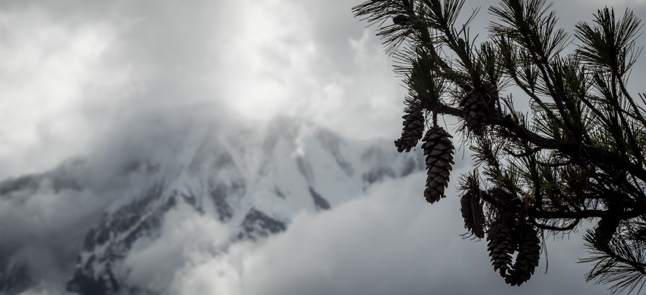
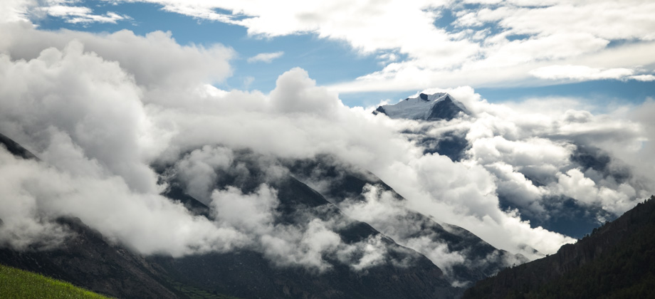
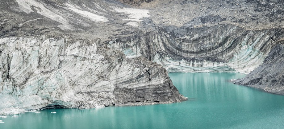
The notorious ridge that I had read about in other online accounts was reached at the 6.4 km mark. This section had thrown other hikers off before as the trail seemed to continue onto the ridge straight ahead, when it instead veered down the slopes to the left. Fortunately, there were now both indications that were painted onto the rocks just before the turnoff, as well as pole markers on the left that indicated the correct way. We decided to stop for our lunch soon after that point--where we prepared hot soup that was to be eaten with Tibetan bread--at a large boulder just above a grassy meadow with the ruins of a small structure. We had figured that this point was a good stop as it was approximately half way down elevation-wise from the high-altitude pass (which was 1700 metres higher than Ranipauwa).
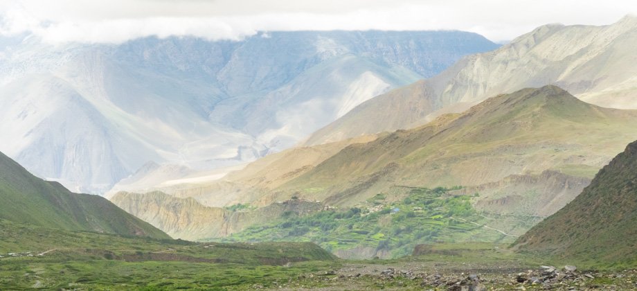
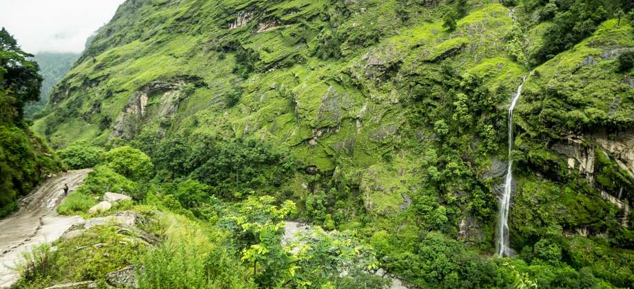
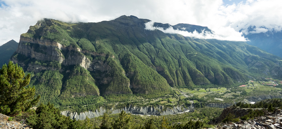
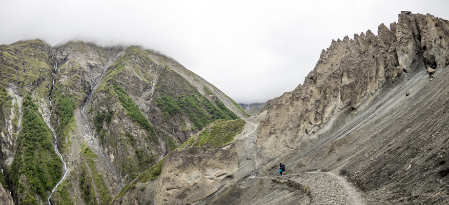
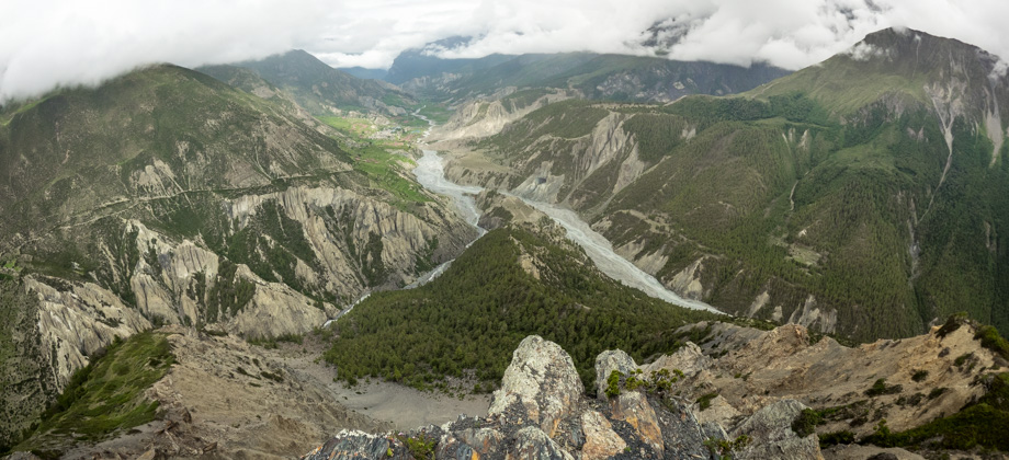
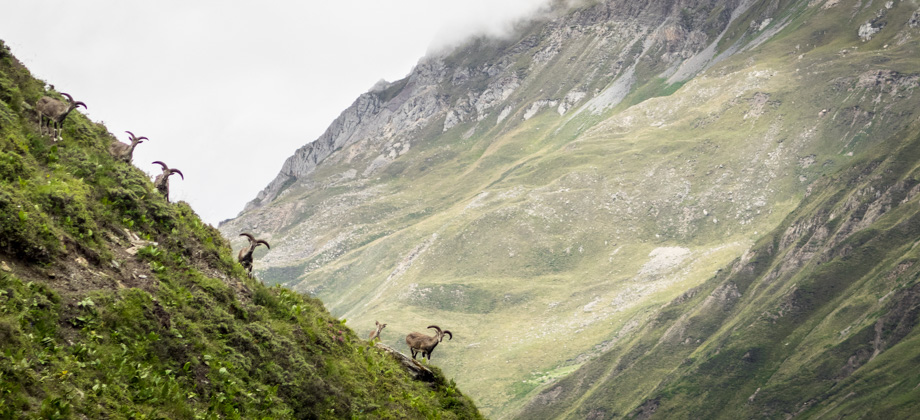
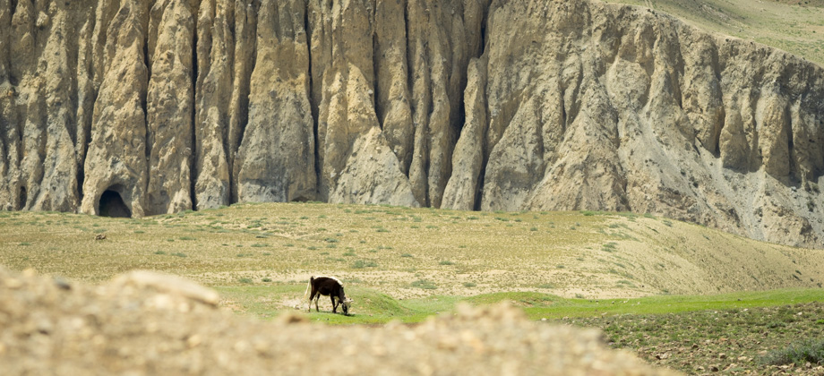
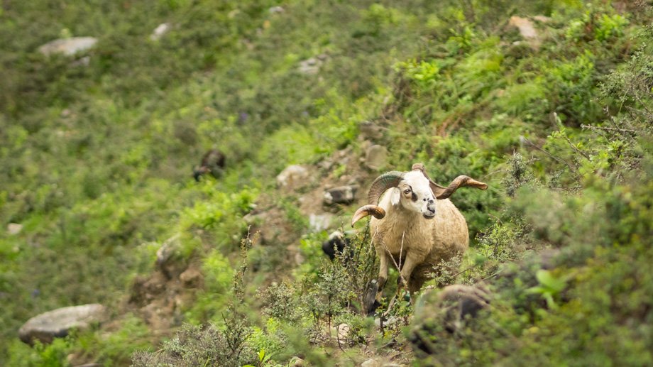
 By the time we caught sight of the guesthouses of the hamlet (elevation : 4190 m) that did not seem to have a set name--some signs referred to the place as 'Changur' or 'Chongur', others as 'Thorong Tha', whilst others still as 'Chambharbhu'--the elevation had already corrected itself and gave a fairly precise elevation of 4200 m. The mist had also cleared a little by then, and we were able to see all the way through to the hamlet of Jhong that was nestled in a sea of green. As we approached the guesthouses, we saw that the trail passed straight through them, which was a little inconvenient considering that we would then have to tell each and every one of the owners, who all happened to gather outside whenever a trekker came along, that we were just passing through. The trail then wound down to the Jhong Khola approximately 9 km in, before passing the junction to Muktinath. By then, the rock-fringed trail had taken us into grassland that was interspersed with mounds of low bushes. Each time we ventured into terrain like that, we made sure to always keep our eyes peeled for signs of pikas (Ochotona roylei)!
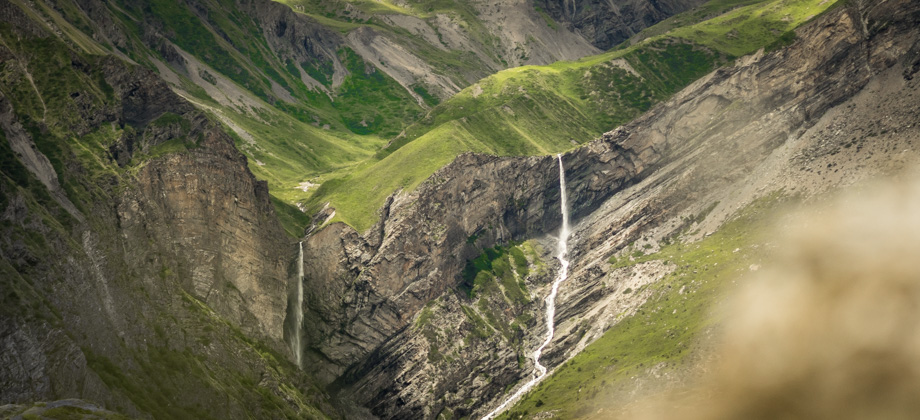
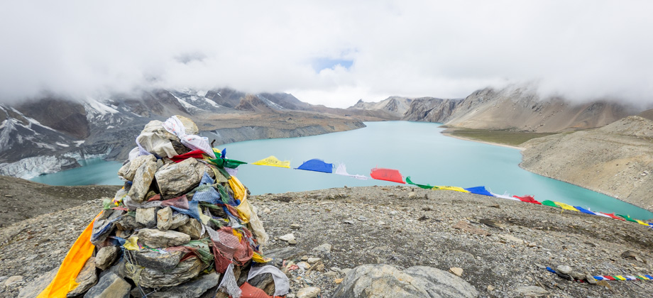
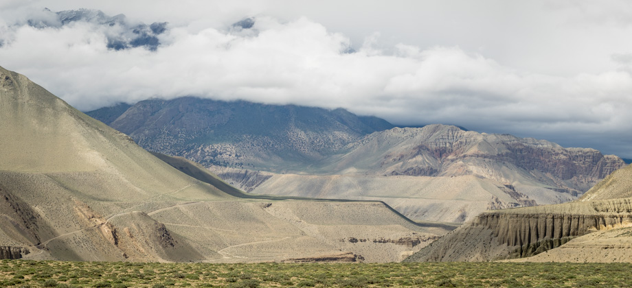
 After a few river crossings, the last one with a long suspension bridge, the trail swung left before sidling the temples of Muktinath (elevation : 3800 m)
 Route Playback
Suunto Movescount Stats

Day 13 Expenditure


