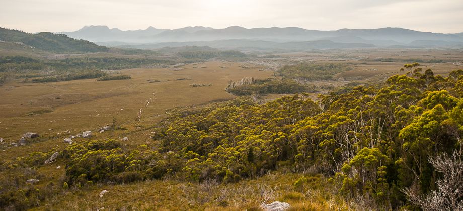
Western Arthurs Day 1 : Departing Scott's Peak Dam
Junction Creek
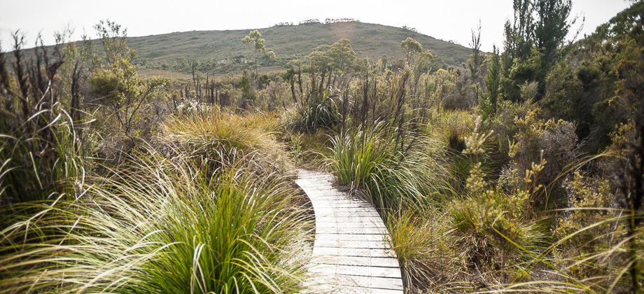
There was mud, more mud, and (somehow) even more mud. The path was very worn by this point and at points became almost tunnel-like, flanked by button grass and stalks of yellow grevilleas
(Grevillea spp.), with a base of... churned mud. Just when I found myself starting to get a little exasperated by the unending, unyielding mud, we reached the first of the river crossings (8.5 km point). There was another river crossing approximately 300 metres after that, and the final tanin-red river crossing that lay just before
Junction Creek at the 9.3 km mark.
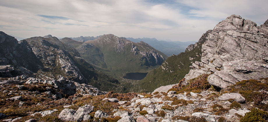
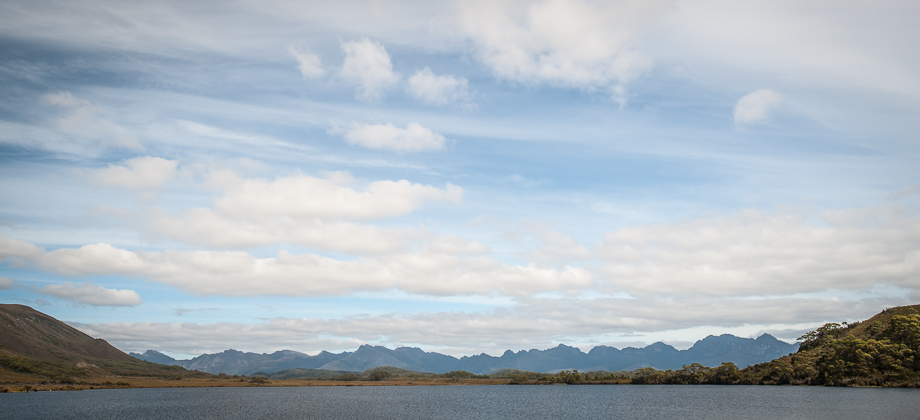
 Junction Creek
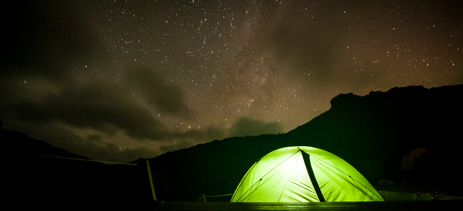
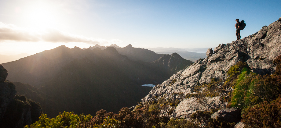
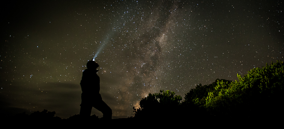
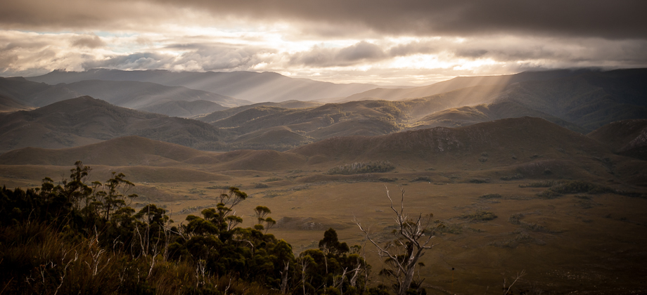
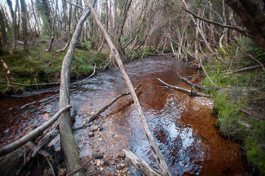
The sun had started to set not long before we reached, leaving everything basking in a deep orange-red glow. It started to get cold and dark pretty quickly after that but we managed to set up camp before it did. As I lay down, comfortable, warm and with my hunger satiated, I thought about how hiking was always about a balance, a fine-tuning of sliders that influenced different factors (if you will) – keeping warm by lugging around bulky, well insulated gear, or being well fed with nice, tasty meals; always coming with the cost of extra weight that would always just slow you down.
As I drifted off, all these thoughts slowly morphed into dreams of the imposing ridge that lay ahead..
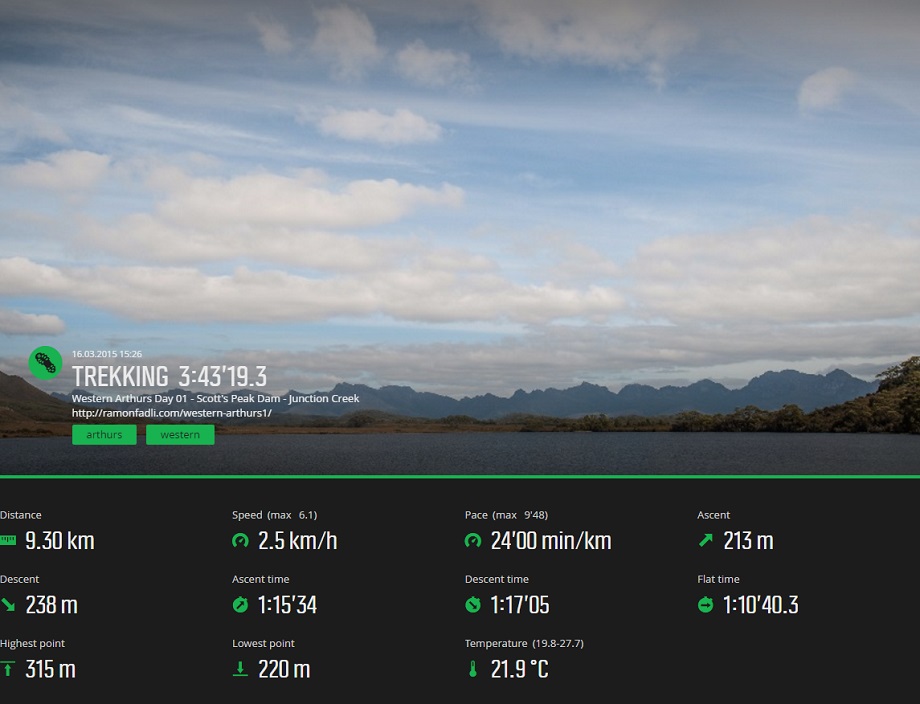
Suunto Movescount Stats
 Download GPX file here (right click and save link as)