Western Arthurs Day 10 : To Wullyawa Creek
Western Arthur Range Index
The Razorback
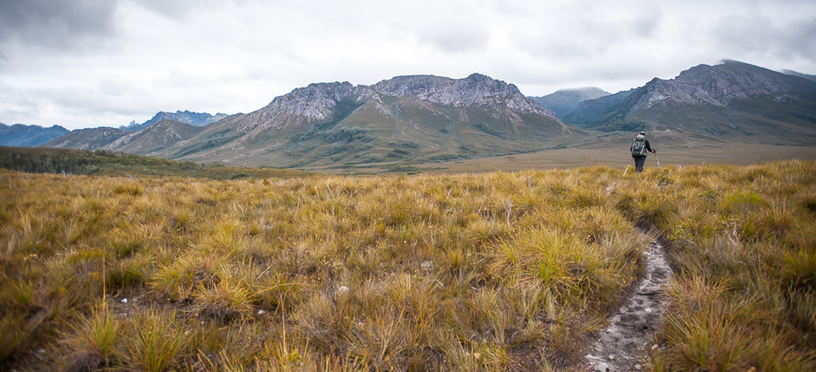
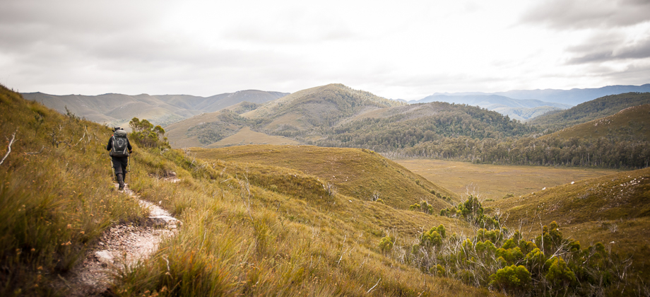
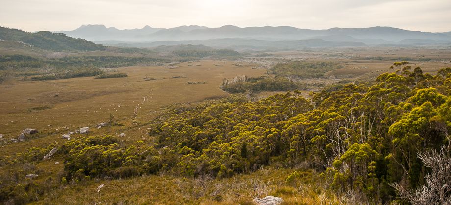
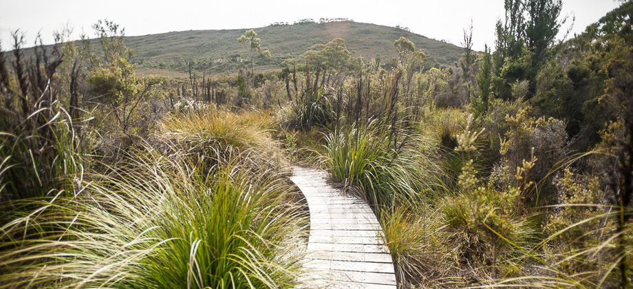
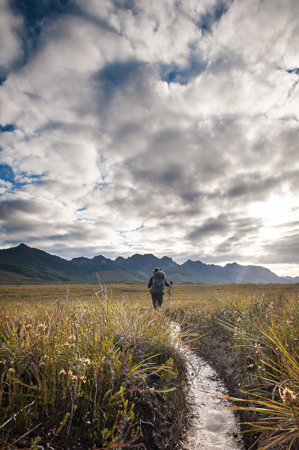 We were now on the northern side of the Razorback and were making our way westwards along the contours of the hills. We crossed multiple streams and blackwater rivers over the next kilometre or so, the water brown from the leaching of tannin from decaying vegetation (altering the taste, but not rendering it unsafe to drink!) and on occasion, jumping into thick bush before re-emerging onto the plains once again. This continued on for at least the next three kilometres or so, before things 'took a turn' and the trail began to cut across the Razorback.
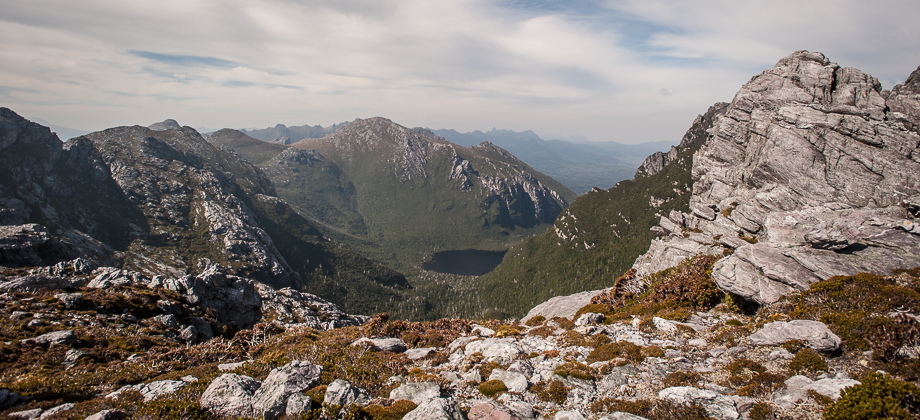
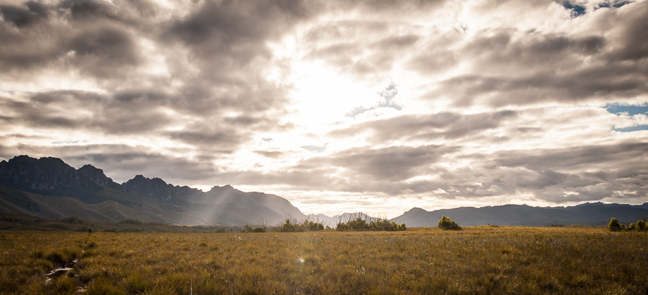
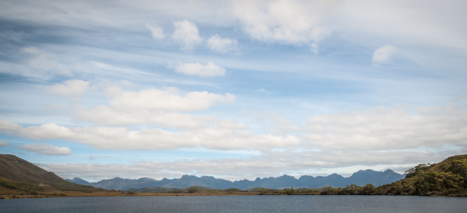
As we emerged on the south side, the magnificent views of the Western Arthur range opened up, showcasing the ominous Lucifer Ridge that we had sidled just the day before, and West Portal peeping out from behind. The scale was incredibly hard to get my head around as everything looked so small and so far away, and I was forced to reassure myself that we had indeed crossed all that with just two days of hiking (from Mt. Scorpio to Lucifer Ridge). I couldn't seem to tear my eyes away from the range and was transfixed for a long while as we marched onwards.
The trail then began a gradual descent down to flatter button grass (Gymnoschoenus sphaerocephalus)-filled plains below. Here we found red and rusty star pickets poking out of the ground that were spaced out at regular intervals, that were running parallel to the track. A pair of large yellow-tailed black cockatoos (Calyptorhynchus funereus) took off in flight as we approached, letting off a loud grating screech as they did, almost as if they were greatly agitated.
There were numerous river crossings after that point but the prominent one was the huge river crossing at 7-mile Creek, a crossing that we had to make by shuffling across a fallen tree. The river confluence was located here, with foam building up wherever there was an eddy, with the Huon River just beyond in the north. Here also lay the Kappa Moraine campsite, a pleasant campsite with very large clearings that could accommodate quite a large number of tents.
 The eastern half of the Western Arthur Range - the left third of the image is Lucifer Ridge; the middle of the image shows Centaurus Ridge in the distance with West Portal peeking out from behind; the right third shows Mt. Canopus, with Mt. Scorpio and Kappa moraine on the far right.
On to Wullyawa Creek
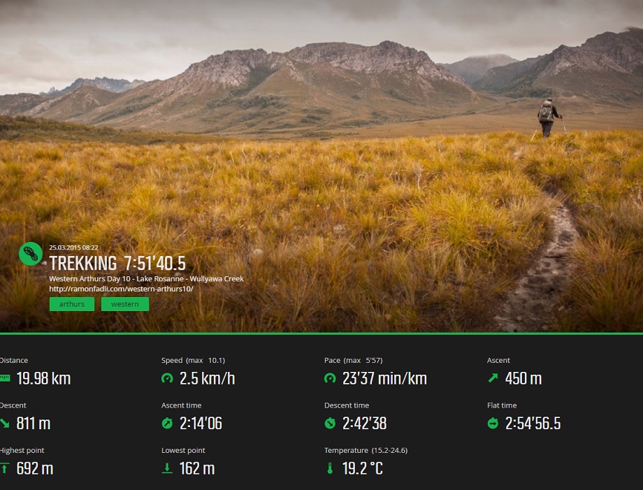
We set off once again, after a short rest and a change of socks. I had developed a bad case of immersion foot due to all the river crossings and the water that had found its way into my hiking boots. The deep, pale, edematous folds on the base of my foot had started to become quite painful and had left me with bouts of paresthesia; but I figured that I could still push on for the next 5 kilometres to Wullyawa creek, in an attempt to decrease the distance that we would have to cover the next day. I ended up limping in to Wullyawa Creek almost 2 hours later, the only thing keeping me going was the thought of finally being able to rip off my boots and dry my painful feet. The campsite was absolutely gorgeous as there was a large river with trees that were completely engulfed by soft epiphytes, with the heavy canopy above us making everything feel nice and snug - a perfect place to spend the last night in, I thought to myself.
Route Playback

