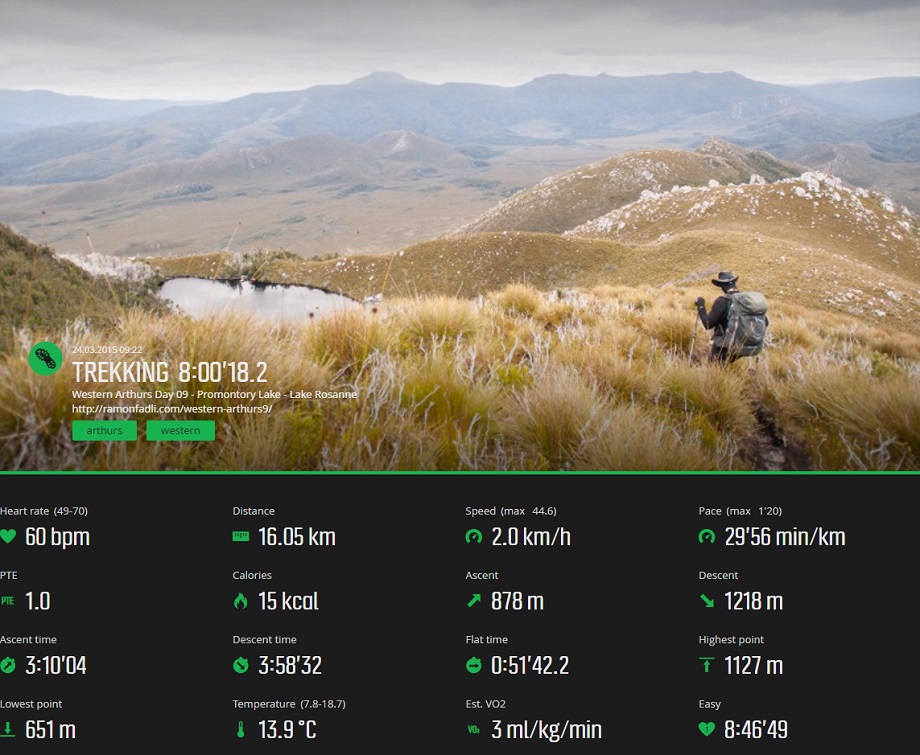


Western Arthurs Day 9 : To Lake Rosanne
Western Arthur Range Index
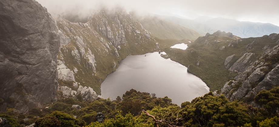
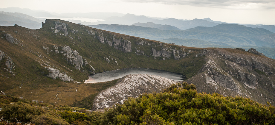
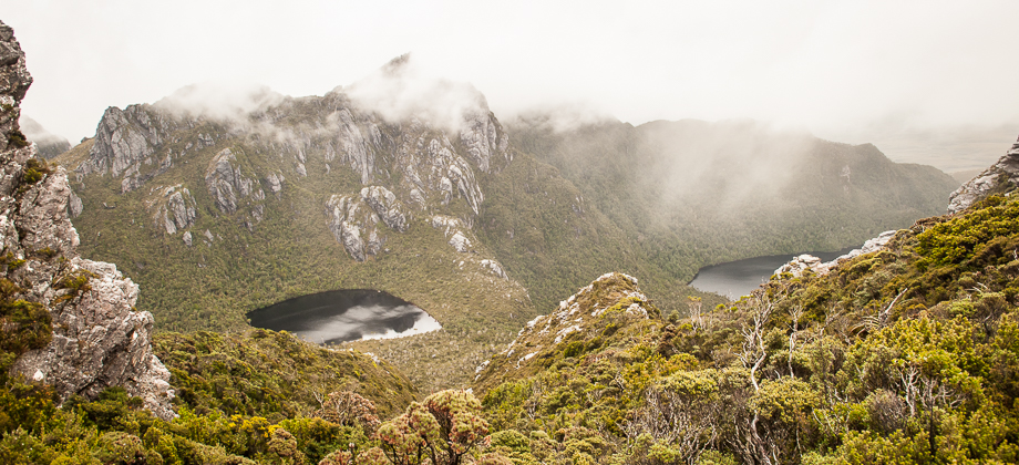
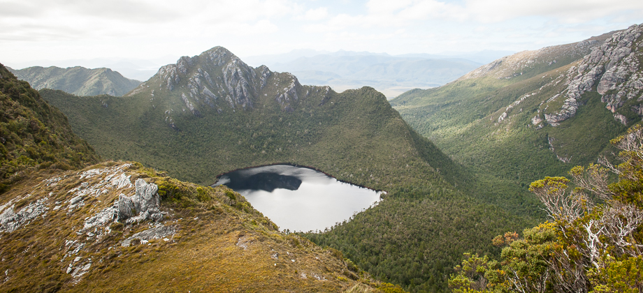
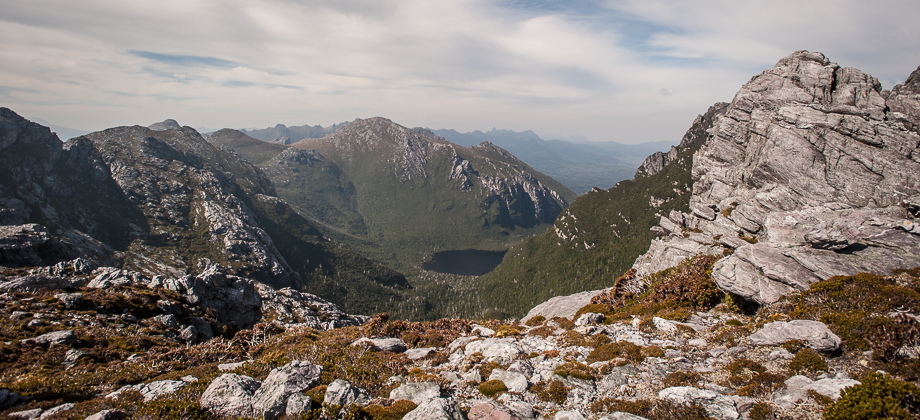
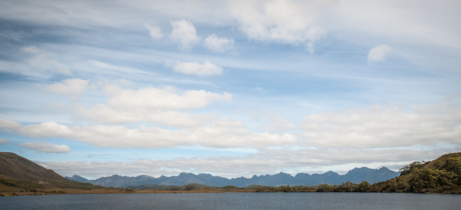
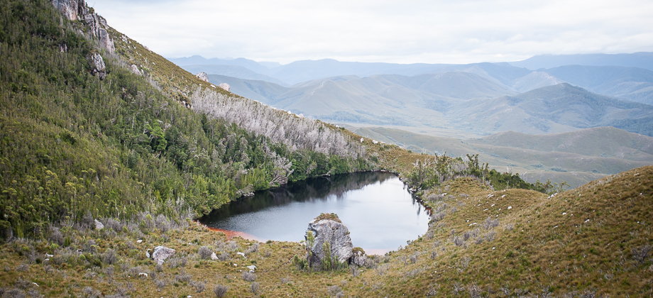
Lake Rosanne
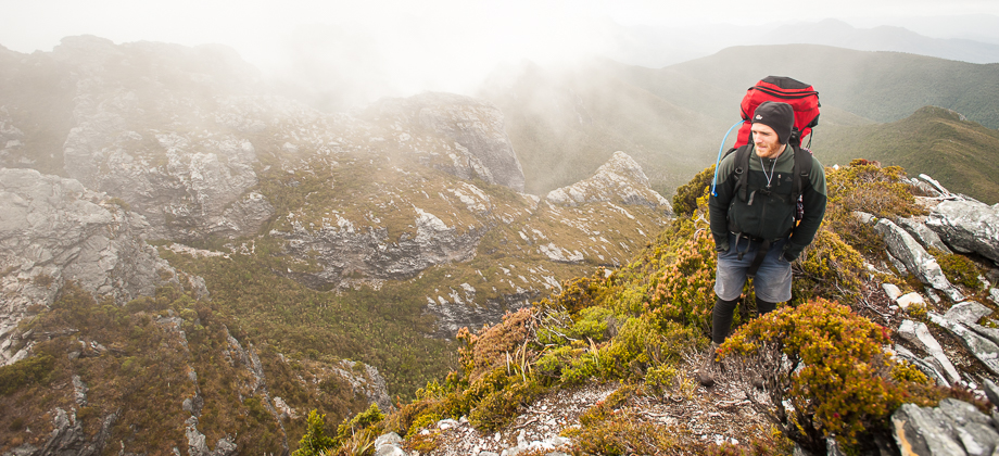
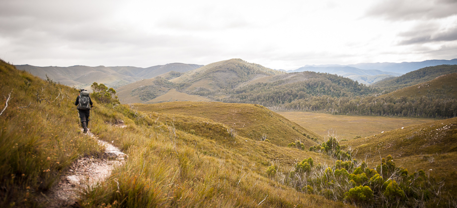
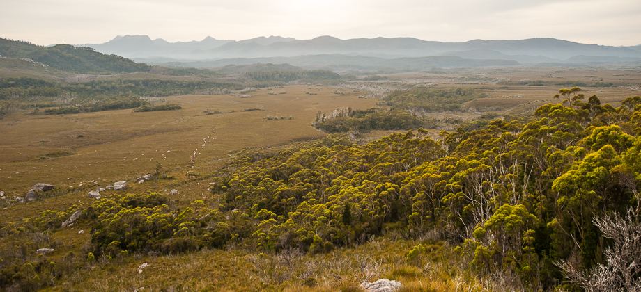
Just before reaching Lucifer Ridge, the track veered off to the right to head eastwards along and down the lower south side of the ridge instead, through vegetation and scree. We passed a couple of trail markers here before carrying on eastwards to traverse the lower south sides of the ridge. The trail took us through some heavy scrub that was fairly overgrown, forcing us to push our way through for a while, with parts that reminded me of rainforest hikes in Malaysia. Just when we were starting to feel as if we had had enough, the trail opened up into (much appreciated) fields of button grass (Gymnoschoenus sphaerocephalus).
Route Playback