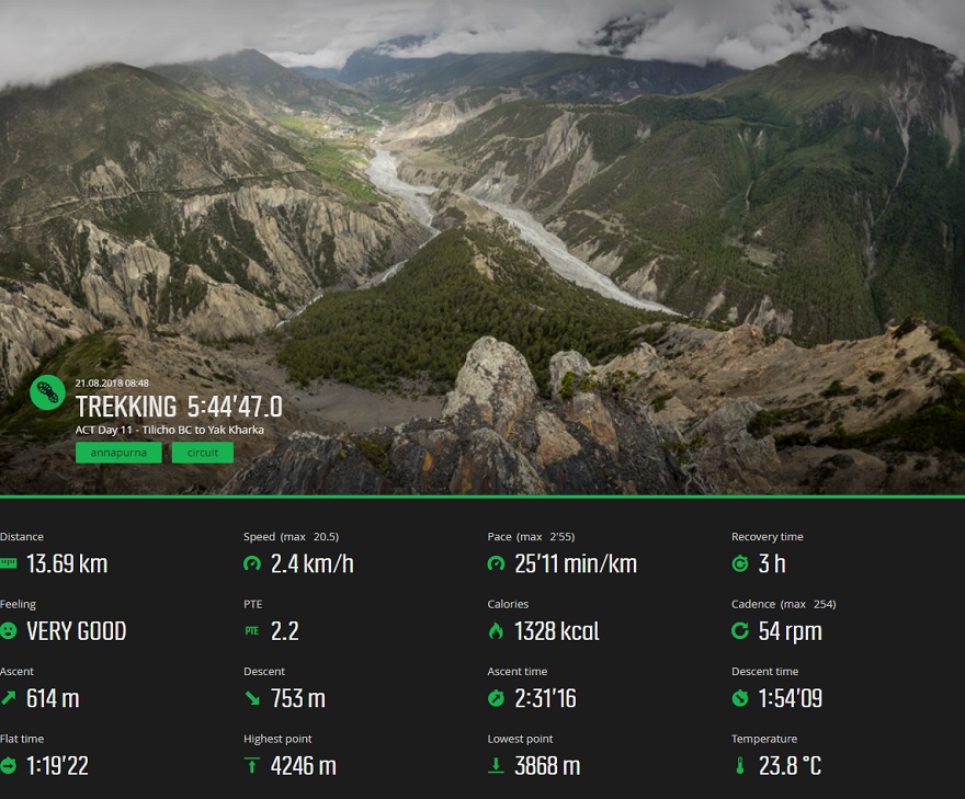
ACT Day 11 - Tilicho Base Camp to Yak Kharka
The Viewpoint
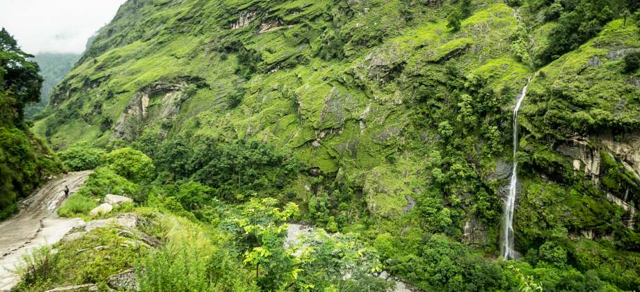
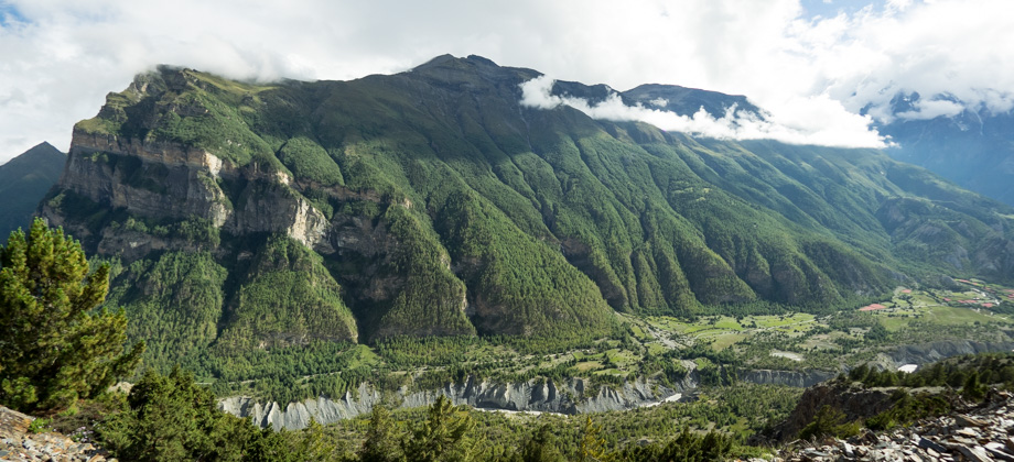
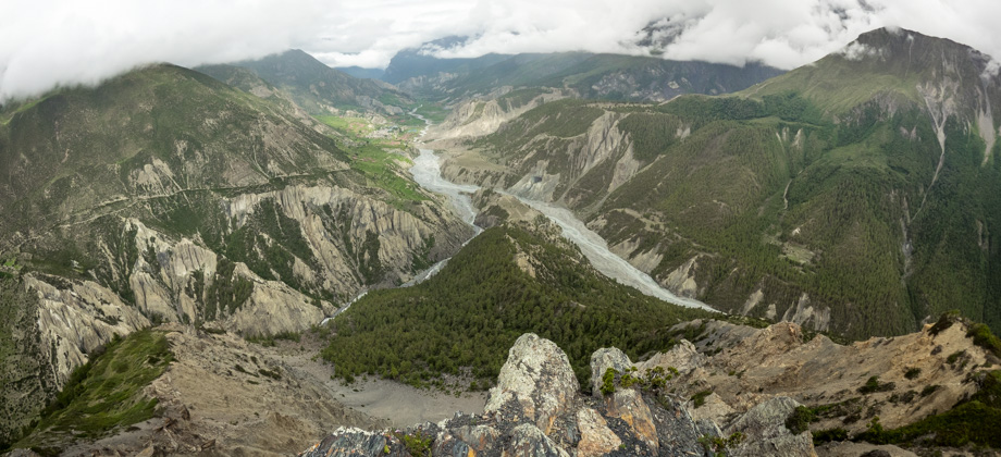
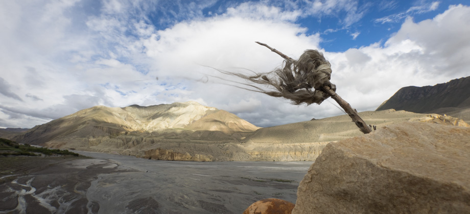
At the edge of the spur

, a huge rocky slab jutted out that overlooked the expansive valley, with seemingly nothing underneath it but the bottom of the valley floor that lay hundreds of metres below. The slab provided a magnificent view of the confluence of the two major rivers: Marsyangdi Nadi, which flowed from Tilicho Base Camp in the west, and Thorong Khola, which flowed from Thorong Phedi in the north. The town of Manang
(
elevation : 3540 m) and some of the smaller hamlets that were located further down the valley could also be seen in the distance.
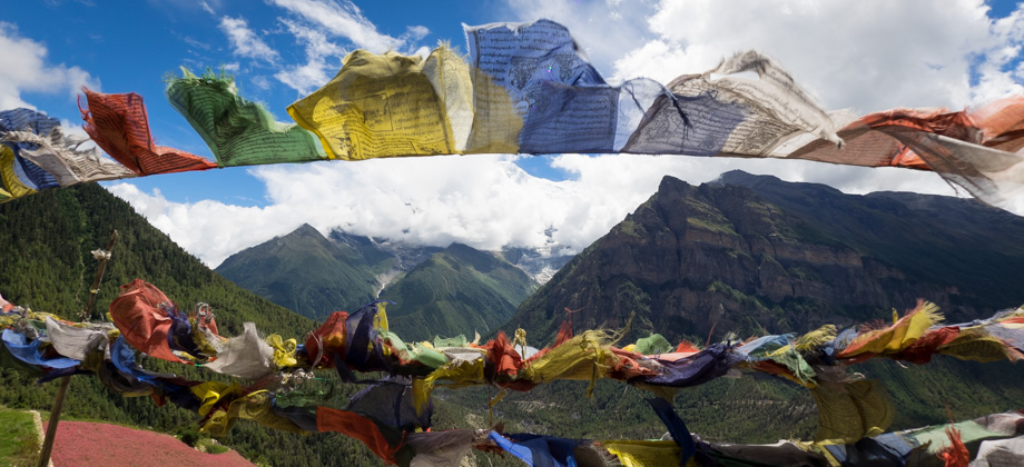
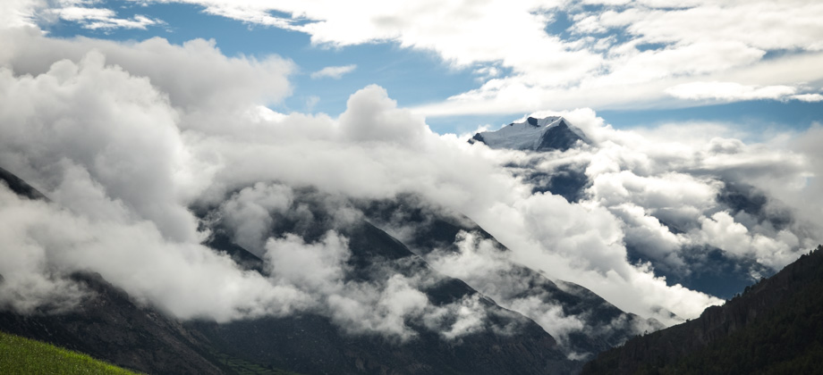
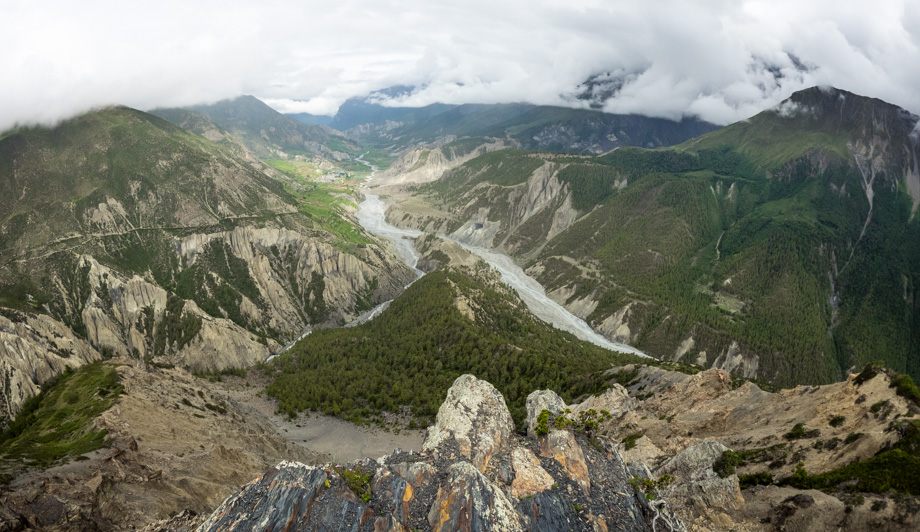 View from the slab looking south-east. The slopes on the right of the image are the lower north-eastern slopes of Gangapurna (elevation : 7454 m)
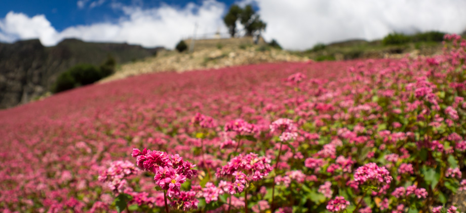
From there, we had to descend 300 metres to the bridge that crossed the Thorong Khola, so we made the sharp turn northwards and followed the scree trail as it zig-zagged down the side of the valley. The flora was abundant and amazingly diverse here and seemed to almost be a slideshow of all the flowers that we had encountered over the past ten days: violet dandelions
(Melanoseris macrorhiza), asters
(Aster spp.), and edelweiss
(Leontopodium sp.) were particularly abundant, whereas other flowers like larkspurs
(Delphinium kamaonense) and five finger cinquefoils
(Potentilla cuneata) could be spotted every now and then. The silky seed heads of clematis
(Clematis sp.) plants also fringed the trail, but their flowers on the other hand were nowhere to be seen.
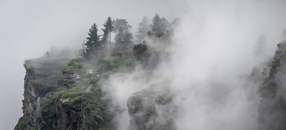
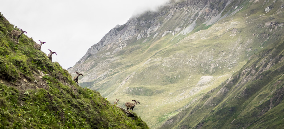
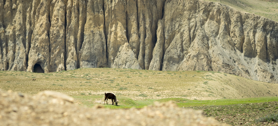
As we entered groves of Himalayan birch trees
(Betula utilis), the sounds of chirping birds returned; their slight movements seen in the bushes only after we stopped and remained perfectly still and silent. A mountain weasel
(Mustela altaica) bounded over and across the path at one point, and momentarily stopped frozen in its tracks with its long neck craned upwards in order to get a good look at us, before bounding away into the bushes once again. As we descended, we could also see the hamlet of Gunsang
(
elevation : 3900 m) across the valley to the east.
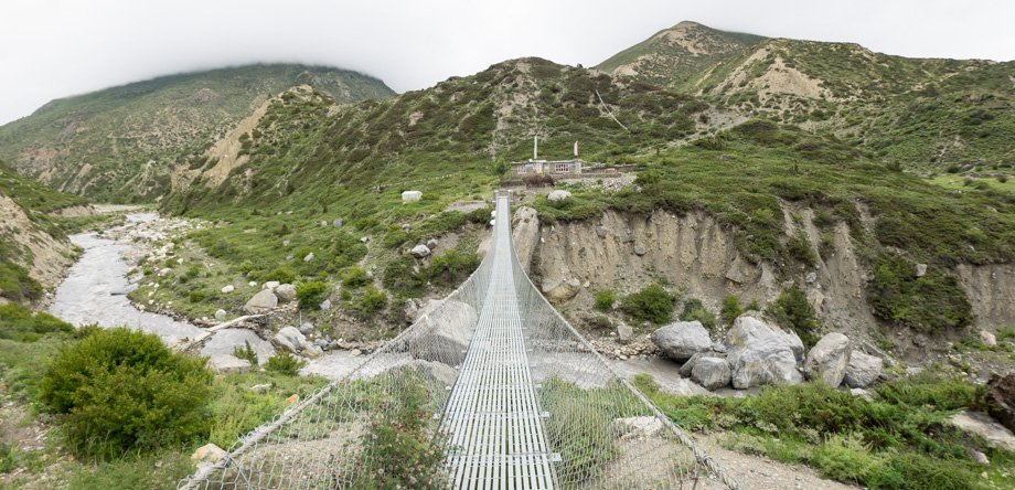 The bridge that crossed the Thorong Khola
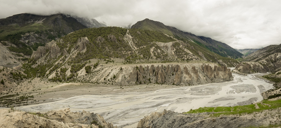
We finally reached the bridge (at the 10 km mark) that was located just upstream from where the Ghyanchang Khola, which flowed from the western slopes of Chulu (
elevation : 6584 m), met the much larger Thorong Khola. There was a guesthouse called 'Nirvana-Karche' directly across the bridge that turned out to be closed since it was the low season. From there, the path continued on behind the guesthouse and ran alongside the Ghyanchang Khola before it climbed up a boulder-filled section. The rocks here were completely covered in a huge variety of
saxicolous (epilithic) lichen.
Lichen are a product of the symbiosis of fungi, which gives the lichen its form, and either algae or cyanobacteria, which gives the lichen the ability to photosynthesise. This consolidation is quite powerful, as the new 'composite' which behaves as a single individual is now able to receive nutrients from photosynthesis, and is hardy enough to resist dangers such as exposure to ultraviolet radiation, which tends to increase with elevation.
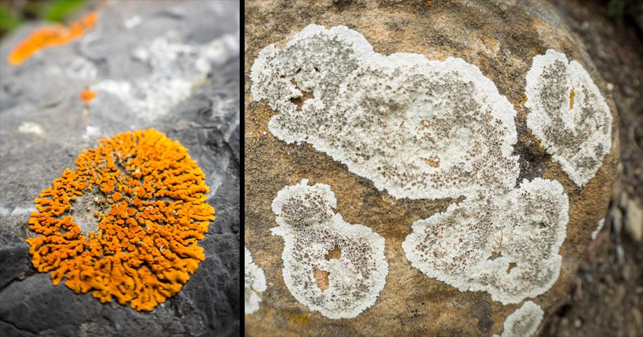 Sunburst lichen (Xanthoria sp.), their distinct 'fairy cups' clearly visible; white crustose lichen
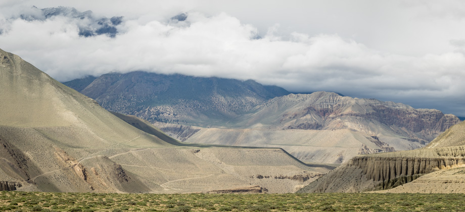
The boulder-filled section led up to a rise which in turn gave way to a grassy plateau that was covered with seemingly manicured mounds. The trail cut through the plateau before it joined the main trail to Yak Kharka
(
elevation : 4018 m). I had initially planned to stop at Ledar
(
elevation : 4200 m) for the night, which was the next hamlet further up; this was because it is located almost 200 metres higher than Yak Kharka, which would help with
acclimatisation, and only had two guesthouses as opposed to the four of Yak Kharka, which would help us avoid the crowds. The problem was that it was low season, and we were a little unsure whether the tiny hamlet of Ledar would even be open. We had also just returned from Tilicho Lake and as such had had a lot more time to acclimatise. The wide trail from there was long and fairly uninteresting, and the floral diversity that had been so high further up the slopes had dropped significantly--the only flowers that lined the trail here were Himalayan stelleras
(Stellera chamaejasme).
Yak Kharka
(
elevation : 4018 m) was a fairly stretched-out hamlet that was located at the confluence of the Tarken Khola and the Kone Khola, and was bounded by the slopes of Syagang (
elevation : 6026 m) to the north-west. By the time we arrived, we were fairly glad to set our heavy packs down and to dig in to a hot meal of dhal bhat (
NPR500/2) and egg curry (
NPR500/2). We turned out to be the only hikers in the guesthouse once again (day out 8 of 11)!
Suunto Movescount Stats
 Download GPX file here (right click and save link as)