April 16, 2013
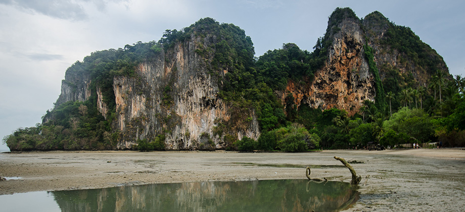
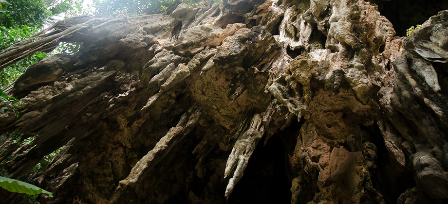
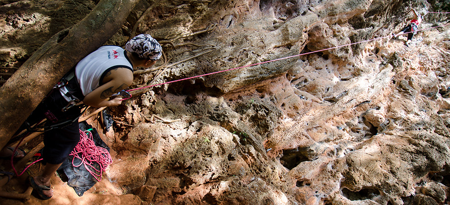
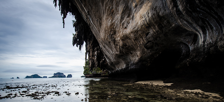
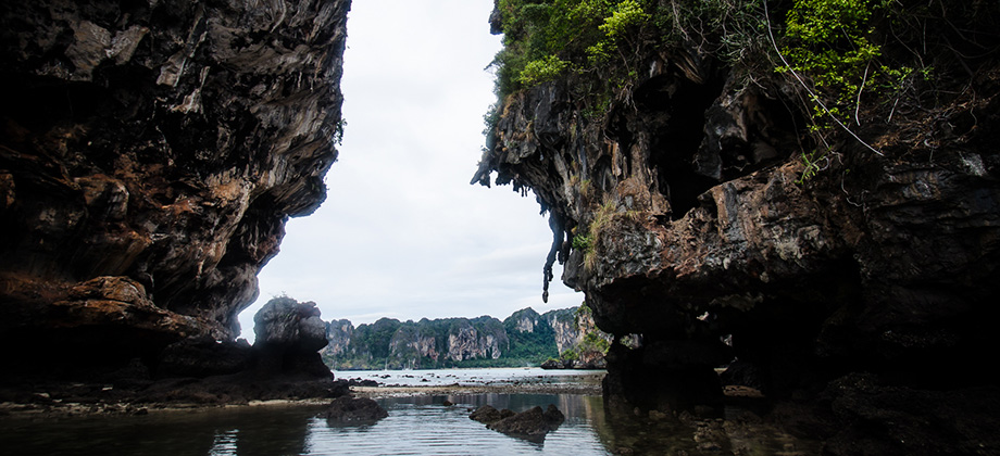
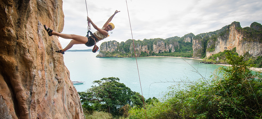
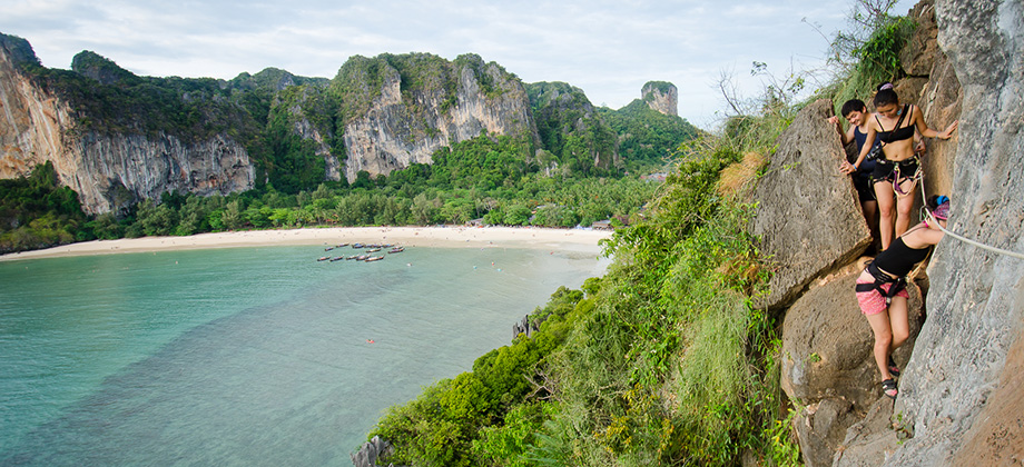
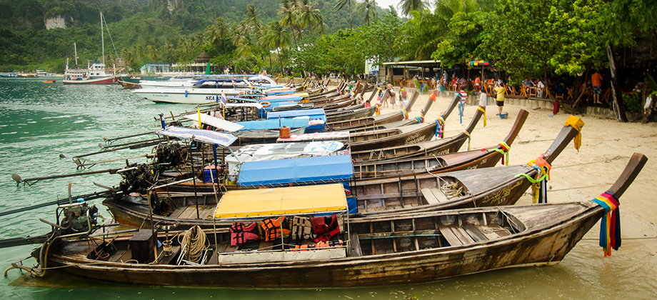
Posted by Ramon in Budget, Class 2, Climbing, Coastlines, Day Hike, Forests, Islands, IUCN Protected Category 2, Karsts, Krabi, Lakes, Mangrove Forests, National Parks, Thailand, Tropical Monsoon
Forests
0
March 30, 2013
Posted by Ramon in Broadleaf Rainforests, Class 5, Day Hike, Forests, Hiking, IUCN Protected Category 2, Malaysia, Mountains, Selangor, Tropical Rainforest
Mount Bunga Buah
We set off early in the morning to the small town of Goh Tong Jaya, which is a satellite town of Genting named after the former chairman of the Genting Group. We gathered at the 'Nasi Kandar Genting' mamak shop just next to the Seri Malaysia Hotel at 08:00, where we stocked up on some Nasi Lemak for breakfast as well as bottles of water to sustain us throughout the trek. Before we go on, please jot down the Read more0
March 23, 2013
Posted by Ramon in Broadleaf Rainforests, Class 4, Day Hike, Forests, Hiking, IUCN Protected Category 2, Malaysia, Mountains, Pahang, Selangor, Tropical Rainforest
Pine Tree Hill
The early gathering of the Kuala Lumpur Hiking & Trail Running group at the Fraser's Hill clock tower at 07:15 was very welcome after the long ride in the early hours of the morning. I found the night before to be completely devoid of sleep and as seems to always be the case, weariness began to creep in just as we were setting out. Before we go on, please jot down the numbers that are listed below. If you do see Read more0
March 17, 2013
Posted by Ramon in Broadleaf Rainforests, Class 1, Day Hike, Forests, Hiking, IUCN Protected Category 2, Malaysia, Mountains, Selangor, Tropical Rainforest, Waterfalls
Kubang Gajah Waterfall
The trek to the Kubang Gajah Waterfall ("Elephant Waterhole"), that is also known as 'Sungai Ampang Waterfall', 'Kemensah Waterfall', as well as 'Sofea Jane Waterfall', was preceded by a trek up to Tabur West that had been organized for several couchsurfers. I won't go into the details of the Tabur trek as Tabur (West) has already been covered in one of my earlier posts. The Movescount details for this trek can be found Read more0
March 9, 2013
Posted by Ramon in Broadleaf Rainforests, Class 3, Day Hike, Forests, Hiking, IUCN Protected Category 6, Malaysia, Mountains, Selangor, Tropical Rainforest, Waterfalls
Saga Hill & Waterfall
Saga Hill was a pretty straightforward trek compared to almost everything else that I had done before. Despite the pace being very slow as the fairly large group had a lot of beginners, the peak was reached with roughly a half hour of steady trekking. The trail up to the peak lacked a view however but due to the low level of difficulty and its proximity to the city center, it is optimal for those who are either new to trekking Read more1
February 23, 2013
Posted by Ramon in Broadleaf Rainforests, Class 6, Day Hike, Forests, Hiking, IUCN Protected Category 6, Malaysia, Mountains, Selangor, Tropical Rainforest, Waterfalls

