Recent Posts
0
0
Western Arthurs Day 10 : To Wullyawa Creek
Today was going to be a long day. We had 20 kilometres to cover, a distance that was definitely manageable, but was considered long compared to the average daily distances that we had covered over the previous week. I was already a little weary by then but the fact that the walk was mainly downhill made me feel a lot better about the task up ahead. We started off early and after packing up camp, we made our way Read more
0
Western Arthurs Day 9 : To Lake Rosanne
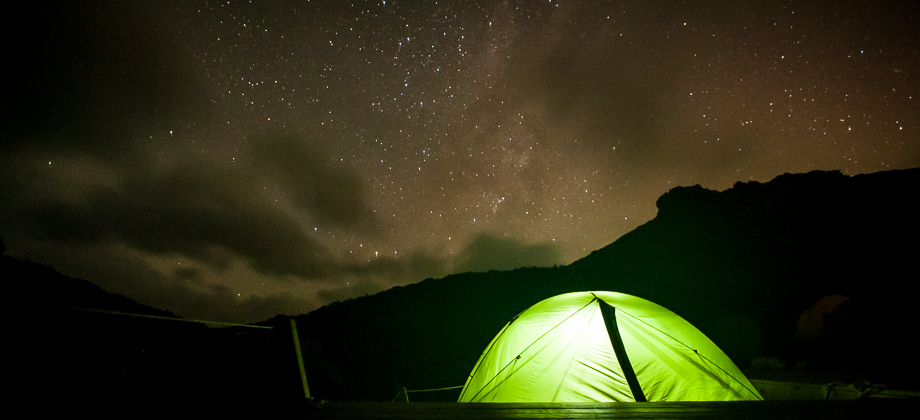
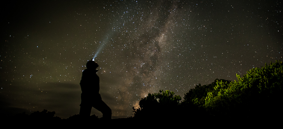
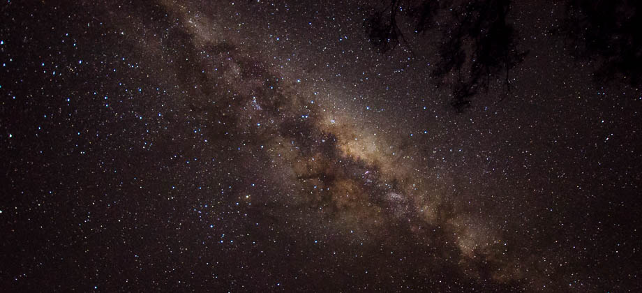
I awoke with a start and realised very quickly that the drumming of the rain had stopped and that a heavy silence had blanketed us. It was still dark outside as it was well before dawn, but since the storm had passed, I decided to crawl out of my sleeping bag to stretch my legs and to get some much needed fresh air. As I emerged from my tent, I was greeted by a sky that was blazing with stars. The storm had moved Read more
0
Western Arthurs Day 7 : To Promontory Lake
It was dawn of the seventh day and breaking camp had become an established routine - a change clothes, coffee, a visit the privy, and some breakfast, before replenishing my water supply and packing my bag. Once I was ready to set off, I made my way along the trail and continued up the hill for approximately 100 metres eastwards towards the viewpoint that was located on the saddle. I turned left here to continue Read more
0
Western Arthurs Day 6 : The Beggary Bumps
We set off from High Moor at 10:00 that day, very glad that the storm had finally subsided. After clearing camp, we walked south-eastwards along the wooden walkway, past the toilet, and began the short climb onto the ridge above us. When we reached the top, we were greeted by spectacular views of the lakes as the ridge ran above and between the two lakes of Lake Saturn and Lake Ganymede, with the Read more
0
Western Arthurs Day 4 : To High Moor
We left the Lake Oberon campsite at 09:00 the next morning, still completely oblivious to the hidden beauty that surrounded us. We made our way back up the junction towards the base of Mt. Orion (elevation : 1151m), but took the path on the right that snaked up and around the lake instead. The path continued along the ridge, then dropped down once again past a smaller tarn on the upper tier and to the flat Read more
0
Western Arthurs Day 3 : To Lake Oberon
The original plan had us pushing past Lake Cygnus and on to Lake Oberon on the same day but the inclement weather that had suddenly rolled in had forced us to stop at the Lake Cygnus campsite instead. We ended up taking our sweet time getting ready that morning, knowing that we only had about half a day of hiking ahead of us, and set off around 10:00, unperturbed despite the weather still remaining gloomy Read more
0
Western Arthurs Day 2 : To Lake Cygnus
We left Junction Creek at 09:00 the next morning and turned right along the Port Davey track at the junction that lay just to the south of the camp. The soft and diffused sunlight that morning was very pleasant, but the trail still remained very muddy. It lead to another river crossing approximately a kilometre in, before leading to elevated wooden platforms that lined the track as it crossed the muddy, flat Read more
0
Western Arthurs Day 1 : Departing Scott's Peak Dam
Damon and I parked the car at the carpark next to Huon Camp, and registered our names at the sign-in booth after disconnecting the car battery. I couldn't wait to get moving as the foreboding profile of the glaciated quartzite ridge of the Western Arthur's, that we had passed as we drove towards Scotts Peak Dam, had left me filled with a great deal of excitement and anticipation. We started hiking at 15:30 Read more
0
March 15, 2015
Posted by Ramon Fadli in Australia, Camping, Class 8, Hiking, IUCN Protected Category 2, Lakes, Looped Hike, Multiday Hike, National Parks, Oceanic, Peak Labels, Ridges, Tasmania, Temperate Deciduous Forests, UNESCO
Western Arthur Range
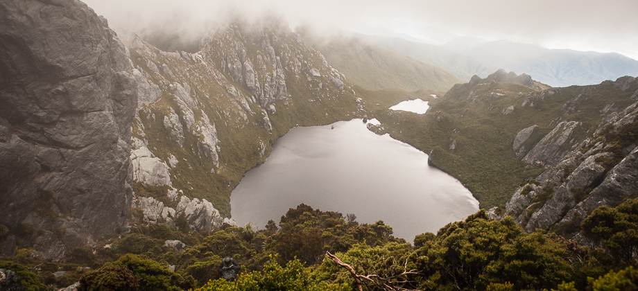
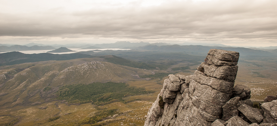
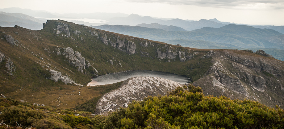
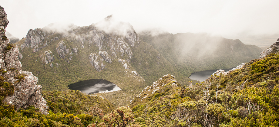
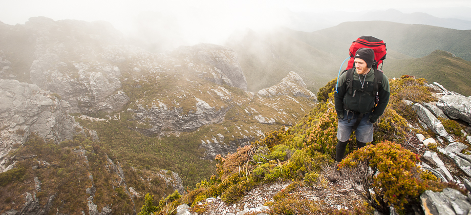
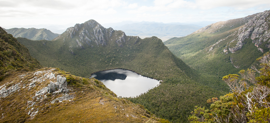
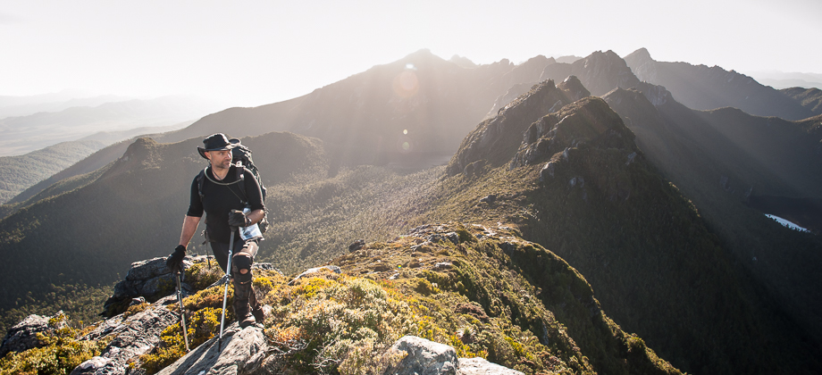
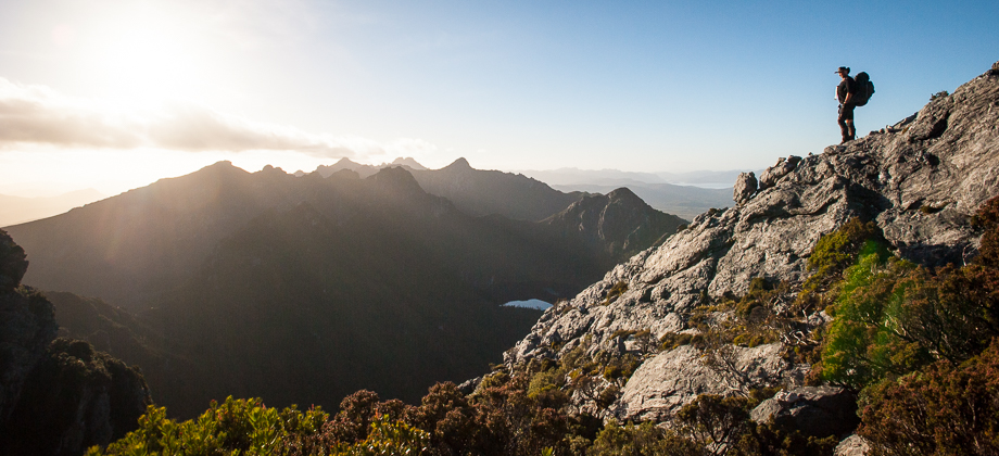
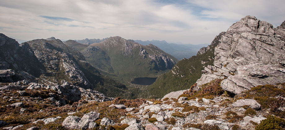
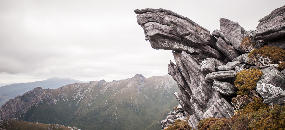
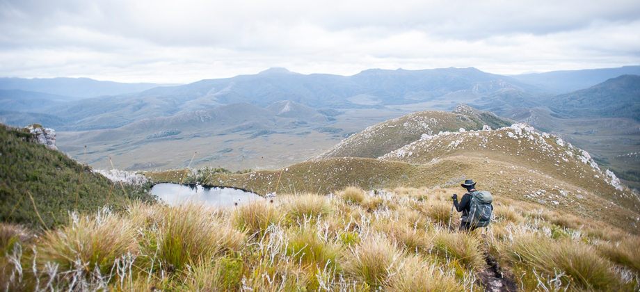
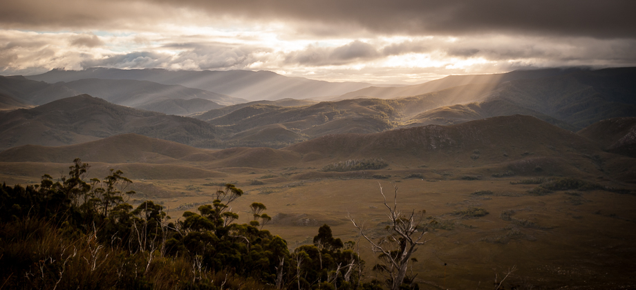
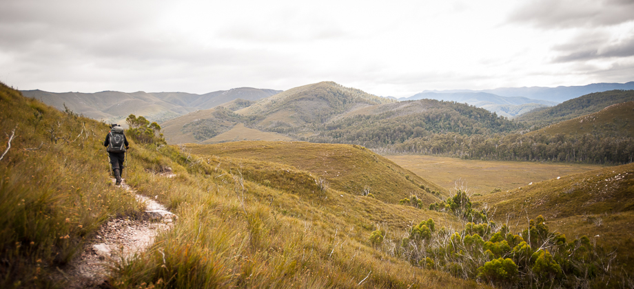
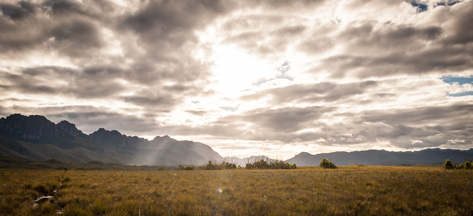
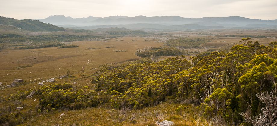
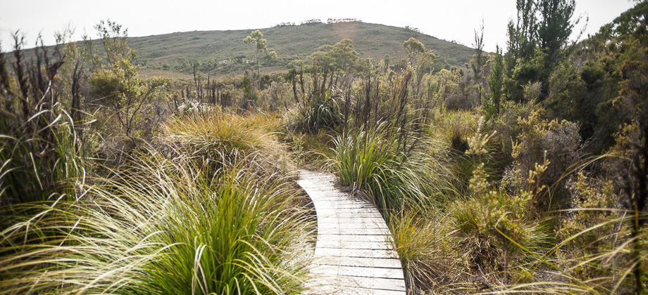
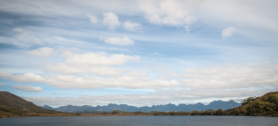
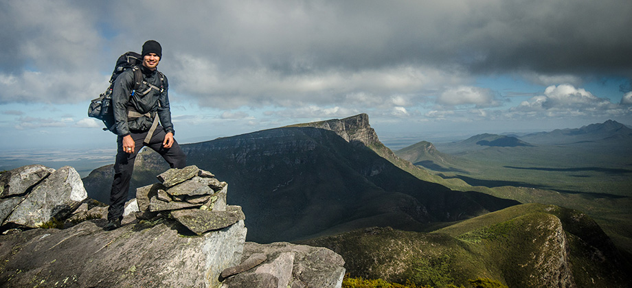
The Western Arthur Range lies in South-West National park, in south-west Tasmania, and is one of the most dramatic mountain ridges in the whole of Australia. This UNESCO World Heritage Site is known for its glaciated landscapes, jagged quartzite crags, spectacular lakes (approximately 30 of them, and along with the peaks and ridges, were named after celestial objects), unpredictable and violent Read more
0
January 30, 2015
Posted by Ramon Fadli in Class 2, Day Hike, Hiking, Humid Continental, Lakes, New Jersey, Temperate Deciduous Forests, United States of America
Round Valley Reservoir
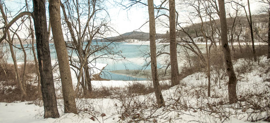
The Round Valley Reservoir in New Jersey is well-known for its pristine clear blue waters. The reservoir was formed in 1960 when two large dams flooded the Cushetunk Mountain valley (the Lenape Native American name 'Cushetunk' means 'place of hogs'). The reservoir is the deepest body of water in New Jersey and is also sometimes referred to as the 'Bermuda Triangle' of New Jersey due to the multiple drownings that Read more
0
August 25, 2014
Posted by Ramon Fadli in Australia, Climbing, IUCN Protected Category 2, Mediterranean, National Parks, Sclerophyll & Mediterranean Forests, Western Australia
Topo: Mountain Quarry
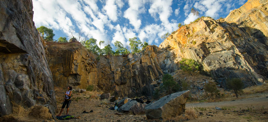
Mountain Quarry is located in Greenmount National Park and is one of the most well-developed outdoor sports climbing crags within Perth's vicinity. There are numerous bolted routes spread out over several walls. There are also a few trad routes located here. There is a combination-locked gate that leads from the carpark into the quarry. The code for the combination lock can be obtained from the Department of Read more
0
Murchison River Gorge - Day 6
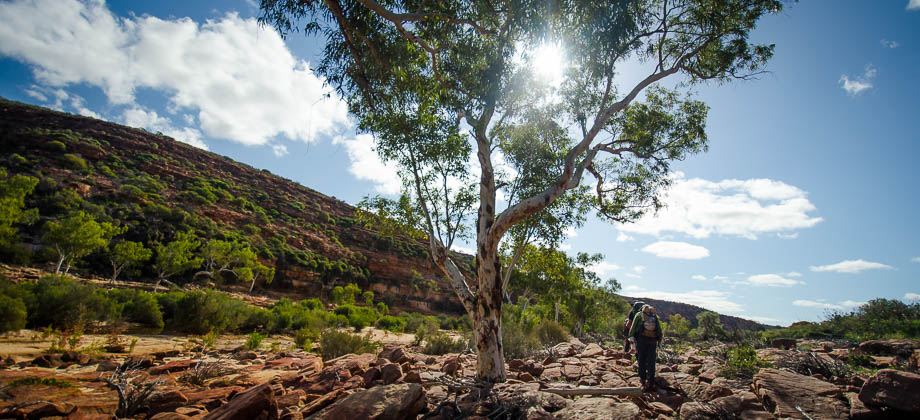
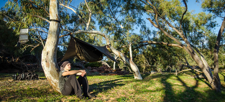
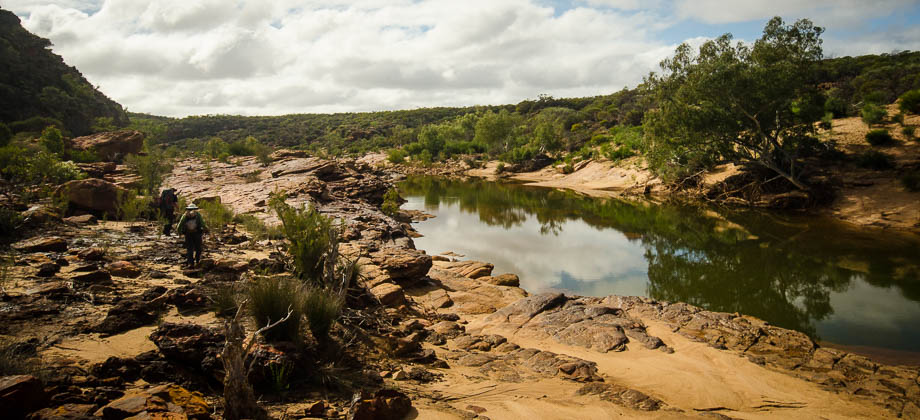
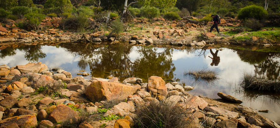
The group set off at 08:30 the next morning, heading northwards and crossing the river back and forth by hopping across rock fields. On one occasion (approximately 2 kilometres in), we had to trackback a little and rock hop across to a small peninsular in the middle of the river. The bush became very dense here and we were forced to bush bash for a while trying to find a point where the rocks continued to the other Read more
0
Murchison River Gorge - Day 5
The group had decided to split into two groups of two to tackle this particular section of the gorge - one group was to continue along the Z-Bend section of the gorge with floatpacks (as there was no way to continue walking along the ledges along this section), whereas the other group was to walk to the next food drop and rejoin the other two at 4-Ways. I decided to take the 'dry route' and head inland Read more
0
Murchison River Gorge - Day 4
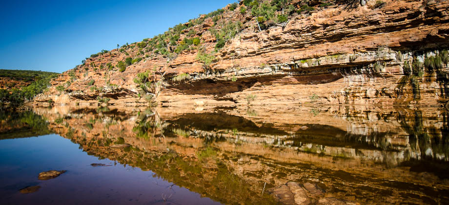
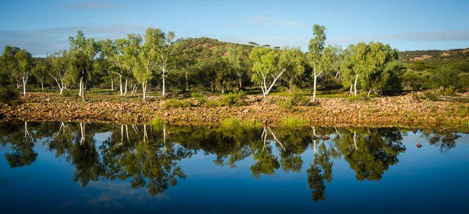
It was a beautiful morning when we broke camp, with clear skies, and an absolutely still, mirror-like river. It felt a little chilly at first since the river still lay deep in the gorge's shadow, but I didn't really notice it too much with the delightful twittering and the chirping of the birds that surrounded me. The Sun left the gorge basking in its warm radiance as it rose higher in the sky, dispelling any chills that still remained Read more
0
Murchison River Gorge - Day 3
We set off at 09:10 that morning and quickly found that we were forced to backtrack a little in order to cross the river, as the riverbank up ahead proved to be impassable. The backtrack was just a short walk along the sandy bank, and with a little rock hopping, we safely found ourselves on the other side. We discovered that a lot of the River Red Gums (Eucalyptus camaldulensis) on this side of the bank had large dug-up Read more
0
Murchison River Gorge - Day 2
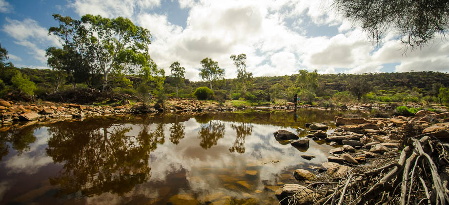
It must have rained throughout the night as the air felt moisture-laden as we packed up camp that morning. After a while, the sun peaked out from the clouds and the warm rays seemed to sweep away any residue of the lingering morning dew that was left. It didn't take long for the remaining clouds to dissipate, leaving a clear azure sky in their wake, perfectly reflected in the mirror-like water of the still river Read more
0
Murchison River Gorge - Day 1
The trip began with a 573-km-long drive from Perth. The group had brought two cars, with the first departing slightly earlier so as to be able to stop at various points along the route that were accessible by road. The whole point of this was to be able to leave food drops at hidden locations in the bush (that were then waypointed) so that they could be collected along the way. I chose to carry all my provisions for Read more
0
July 26, 2014
Posted by Ramon Fadli in Australia, Camping, Class 4, Gorges, Hiking, IUCN Protected Category 2, Multiday Hike, National Parks, Semi-arid Steppe, Western Australia, Xeric Shrublands & Deserts
Murchison River Gorge
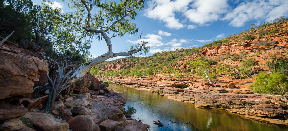
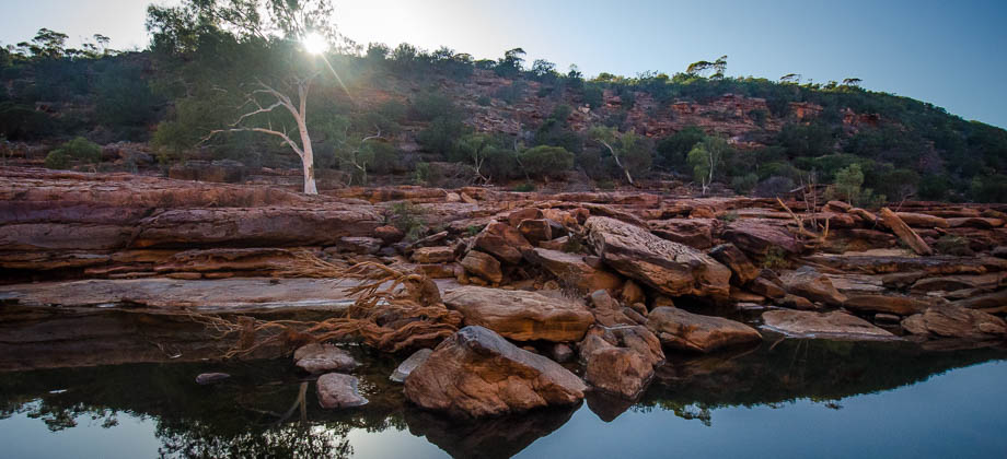
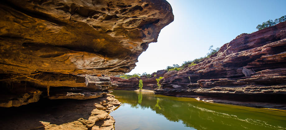
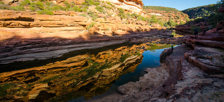
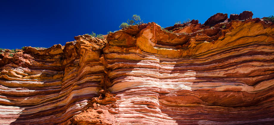
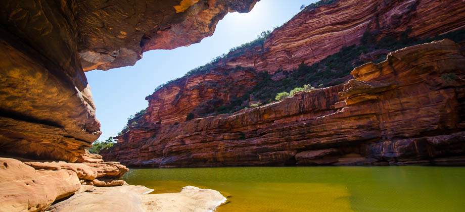
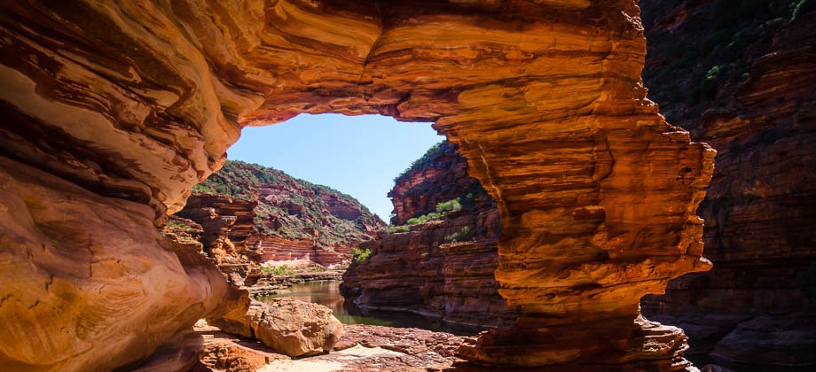
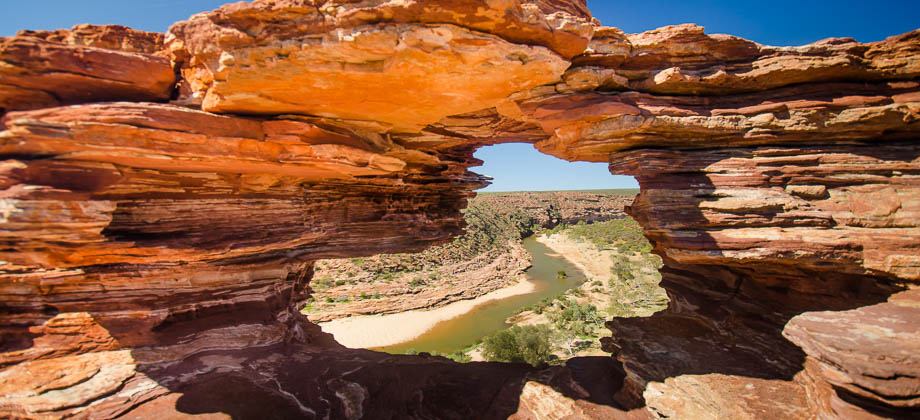
The Murchison River Gorge is a spectacular riverine gorge that can be found in Kalbarri National Park in mid-west Western Australia. The 80-kilometre-long gorge has been carved out by the mighty Murchison river, the second-longest river in Australia, as it meandered over millions of years towards the end of its (currently) 780 kilometre journey, just before swerving towards the township of Kalbarri and the Indian Read more
0

