May 12, 2013
Posted by Ramon Fadli in Broadleaf Rainforests, Camping, Class 4, Day Hike, Forests, Hiking, IUCN Protected Category 6, Malaysia, Mountains, Pahang, Tropical Rainforest
Recent Posts
7
0
May 11, 2013
Posted by Ramon Fadli in Broadleaf Rainforests, Camping, Class 3, Day Hike, Forests, Hiking, IUCN Protected Category 6, Malaysia, Mountains, Pahang, Tropical Rainforest
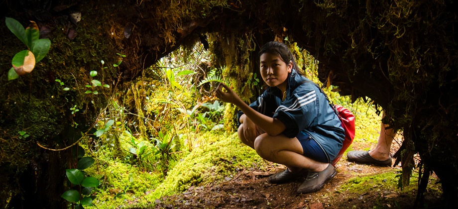
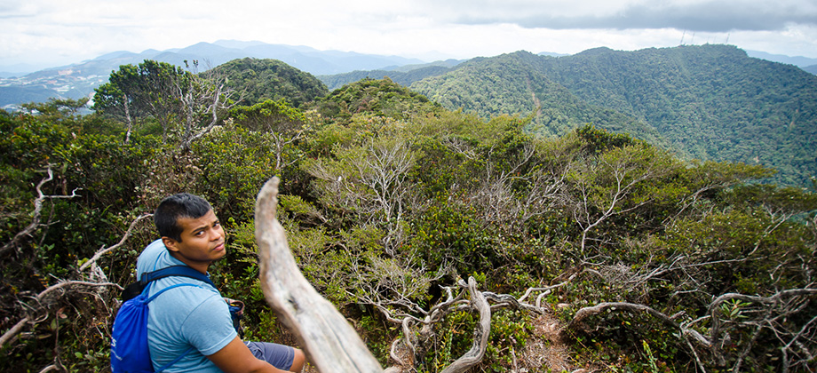
Mount Brinchang
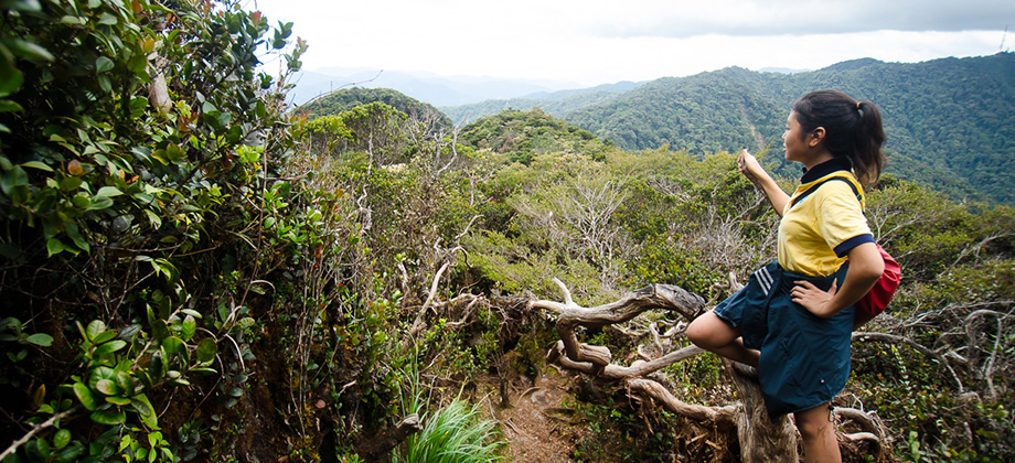
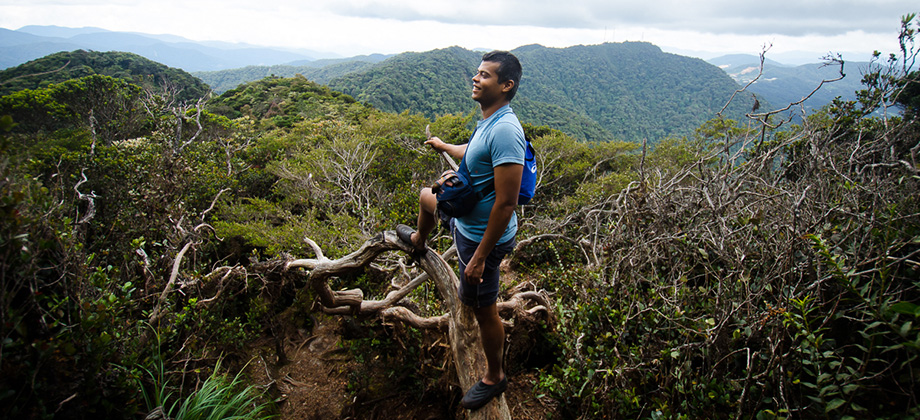
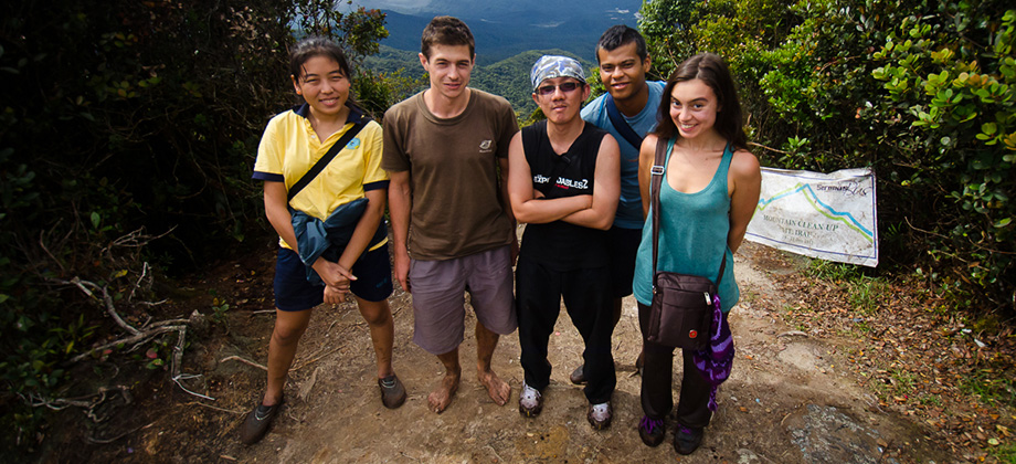
After Mount Irau (elevation : 2110 m), Mount Brinchang (elevation : 2031 m) is the second highest mountain in Cameron Highlands. It is one of the most popular treks in the area as it is easily accessible by what is considered the highest road in Malaysia. Before we go on, please jot down the numbers that are listed below. If you do see any suspicious behaviour when out hiking, encounter things like traps and snares, or Read more
0
May 11, 2013
Posted by Ramon Fadli in Broadleaf Rainforests, Camping, Class 1, Day Hike, Forests, Hiking, IUCN Protected Category 1b, Malaysia, Pahang, Tropical Rainforest, Waterfalls
Cameron Highland's Trail 9A
The initial plan was to head for the Robinson Waterfall for some rest and relaxation after the morning's trek to Mount Brinchang. The beginning of trail 9 that lead to the waterfall began at the side of a road that lay nearby the MARDI center (conducts research in agriculture, food and agro-based industries), just after turning right at a T-junction before one reaches the hospital. Before we go on, please jot down the Read more
0
May 10, 2013
Posted by Ramon Fadli in Broadleaf Rainforests, Camping, Class 2, Day Hike, Forests, Hiking, IUCN Protected Category 6, Malaysia, Mountains, Pahang, Tropical Rainforest
Mount Jasar
Mount Jasar can be reached with a short trek via trail 6 from the Cameron Bharat Tea Plantation as well as from trail 10 which begins just behind the Oly Appartments and at the end of Tan's Camellia Garden. Tan's Camellia Garden is private property however so if you find the gates to be closed, you can just head up the slope to the right of the compound before you reach the gates which will also end up leading to trail Read more
0
May 10, 2013
Posted by Ramon Fadli in Broadleaf Rainforests, Camping, Malaysia, Pahang, Tropical Rainforest
Pauh Campsite
The Sungai Pauh Campsite is located at the Forestry Department (Jabatan Hutan) in the residential area of Taman Sedia, which lies in Tanah Rata in Cameron Highlands and is one of the only camping spots that is readily available in this area. Before we go on, please jot down the numbers that are listed below. If you do see any suspicious behaviour when out hiking, encounter things like traps and snares, or even see Read more
0
May 4, 2013
Posted by Ramon Fadli in Broadleaf Rainforests, Camping, Forests, Hiking, Malaysia, Tropical Rainforest
Lost in the Jungle
The plan was to start from Ulu Kinta and head to the start of the trail before making our way to Camp Seroja and then on to Camp Kijang. From there we would have gone on to the waterfall & LWP (Last Water Point) before reaching Mount Botak (1817 m) which lay just before the summit of Mount Korbu (2183 m) and Mount Gayong (2173m) - which were both members of the exclusive G7 group of mountains. From there Read more
0
May 1, 2013
Posted by Ramon Fadli in Broadleaf Rainforests, Class 3, Day Hike, Forests, Hiking, IUCN Protected Category 2, Malaysia, Mountains, Selangor, Tropical Rainforest
Mount Ulu Semangkok & Mount Gap
Mount Ulu Semangkok is located in the Ulu Tranum Forest Reserve that lies in-between the states of Selangor and Pahang. A lot of people seem to mistake Mount Ulu Semangkok for Mount Semangkok which is a completely different mountain with a summit that lies at a much higher elevation and a trail that makes for a much tougher trek. The trail that we took leads to the summit of another mountain called Mount Read more
2
April 28, 2013
Posted by Ramon Fadli in Broadleaf Rainforests, Class 3, Day Hike, Forests, Hiking, IUCN Protected Category 5, Malaysia, Mountains, Negeri Sembilan, Sunrise & Sunset, Tropical Rainforest
Mount Datuk Sunrise
Mount Datuk (also known as Mount Rembau or Mount Datuk Rembau) was apparently named after Dato' Perpatih Nan Sebatang who in 1372 was said to have organized a gathering of leaders in order to elect a clan chief (Dato' Lembaga). The town of Rembau itself lies about 25 km south of Seremban in the state of Negeri Sembilan which meant that we had to leave Kuala Lumpur extremely early in order to be Read more
0
April 18, 2013
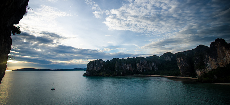
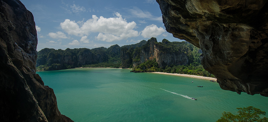
Posted by Ramon Fadli in Budget, Caves, Caving, Climbing, Coastlines, IUCN Protected Category 2, Karsts, Krabi, Mangrove Forests, National Parks, Sunrise & Sunset, Thailand, Tropical Monsoon
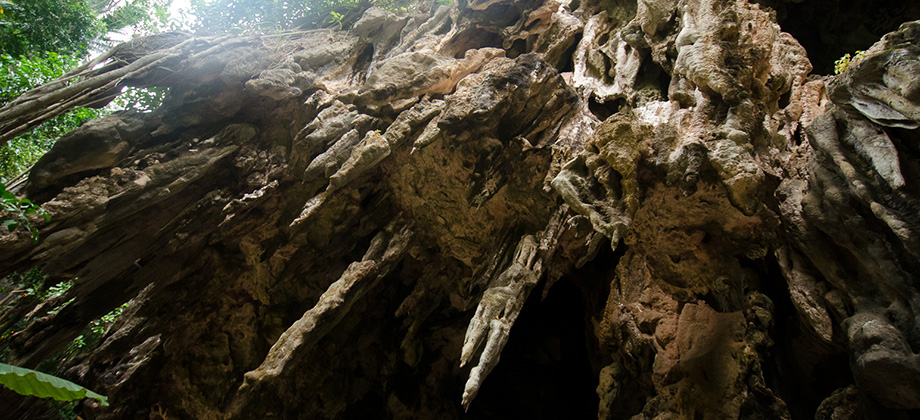
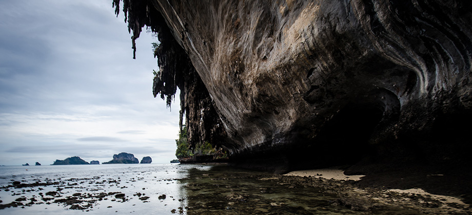
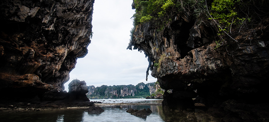
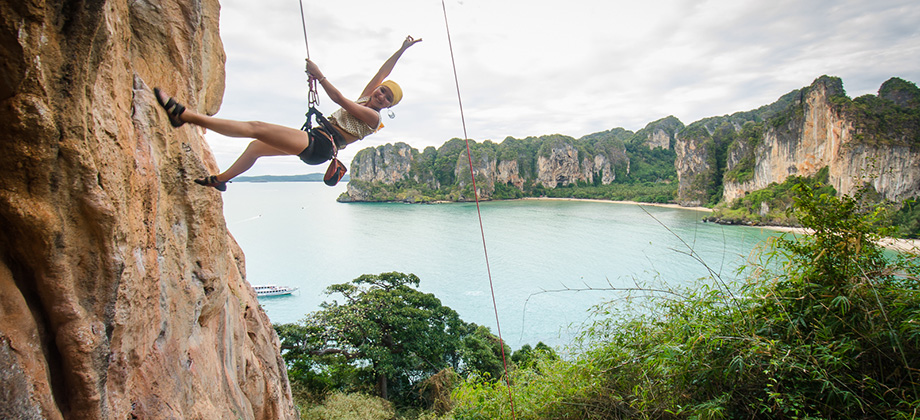
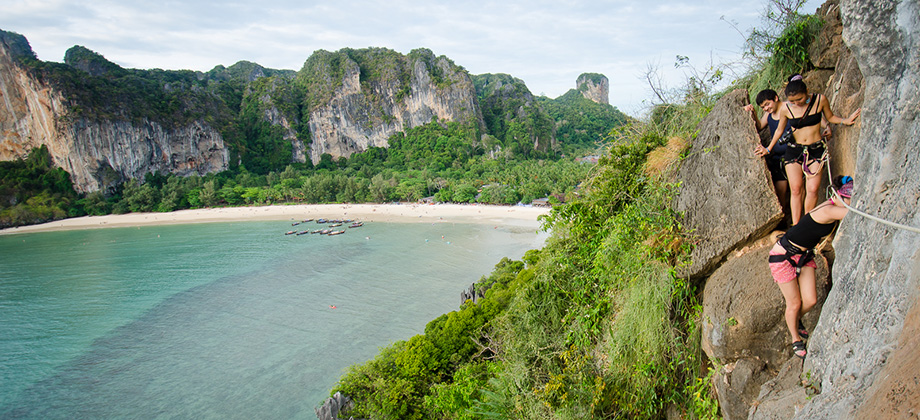
Krabi Day 09 & 10 - Thaiwand Wall Cave & Sunset
We made our way back to the Thaiwand Wall Cave with the specific intent to climb up to the mouth of the cave, haul everything up, and then descend through the cave to the other side. This was something that we had planned to do on the previous trip to Thaiwand Wall but had unfortunately run out of daylight. The cave itself can be accessed from either end although the cave opening on the Thaiwand Wall Read more
0
April 16, 2013
Posted by Ramon Fadli in Budget, Class 2, Climbing, Coastlines, Day Hike, Forests, Islands, IUCN Protected Category 2, Karsts, Krabi, Lakes, Mangrove Forests, National Parks, Thailand, Tropical Monsoon
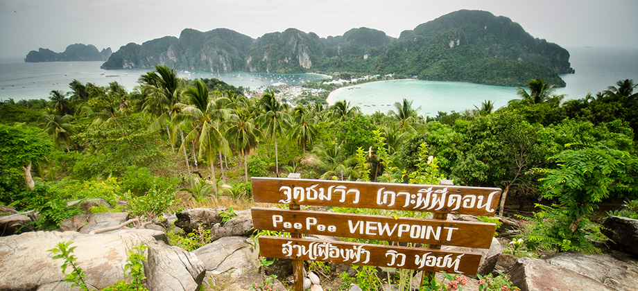
Krabi Day 07 & 08 - Railay Lagoon & Phi Phi Island
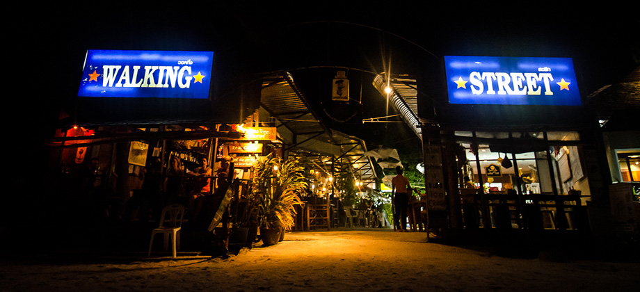
I woke up pretty early that day, so after purchasing two cans of Birdee robusta coffee, I made my way over to West Railay to pass the time. There are several ways to get across with most of them passing through alleys and paths until they merge with Walking Street. They are used quite frequently by both tourists and the locals alike and almost everyone can direct you if you have any uncertainties. The trees in Read more
0
April 14, 2013
Posted by Ramon Fadli in Budget, Climbing, Coastlines, IUCN Protected Category 2, Karsts, Kayaking, Krabi, Mangrove Forests, National Parks, Thailand, Tropical Monsoon
Krabi Day 05 & 06 - Kayaking & Thaiwand Wall
I made my way to Railay West after having purchased my two cans of daily Birdie robusta coffee (THB20 each) with Cass and Jamie who were both eager to kayak having missed out the chance the year before. The weather was overcast with barely any sun visible which in my opinion is perfect for a day of kayaking since being in a kayak leaves one so exposed. The rates for kayak rental were THB200 for the first hour Read more
0
April 12, 2013
Posted by Ramon Fadli in Budget, Climbing, Coastlines, IUCN Protected Category 2, Karsts, Krabi, Mangrove Forests, National Parks, Thailand, Tropical Monsoon
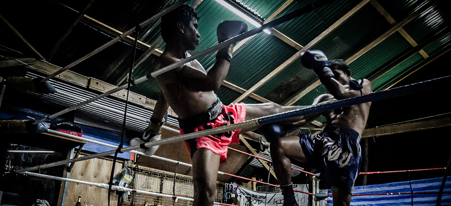
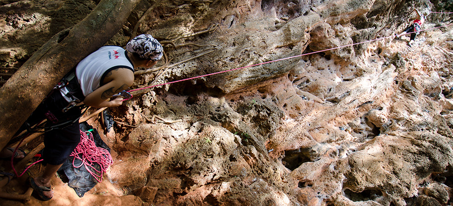
Krabi Day 03 & 04 - Muay Thai Wall & Songkran
After my compulsory dose of caffeine (THB20 for each can of Birdy robusta coffee), we made our way towards the pathway that takes one to Phra Nang beach but turned left at the end instead to the climbing walls of 'Muay Thai' and '123'. It was high tide at the time however which meant that the '123' wall was not accessible, so we instead walked up the short incline to 'Muay Thai' instead. We found the area to be fairly Read more
0
April 10, 2013
Posted by Ramon Fadli in Budget, Climbing, Coastlines, IUCN Protected Category 2, Karsts, Krabi, Mangrove Forests, National Parks, Thailand, Tropical Monsoon
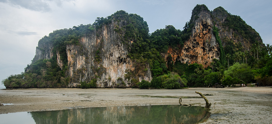
Krabi Day 01 & 02 - Ao Nang & Phra Nang
The return airfare for this adventure trip - so called as it involves a myriad of different outdoor activities such as hiking, rock climbing, kayaking, snorkeling and (potentially) scuba diving – had only amounted to a meagre sum of MYR161 (THB1600) as the airfare had been purchased during one of Air Asia's wonderful promotions sometime last year. The total cost was also kept low as no baggage allowance had been Read more
0
March 30, 2013
Posted by Ramon Fadli in Broadleaf Rainforests, Class 5, Day Hike, Forests, Hiking, IUCN Protected Category 2, Malaysia, Mountains, Selangor, Tropical Rainforest
Mount Bunga Buah
We set off early in the morning to the small town of Goh Tong Jaya, which is a satellite town of Genting named after the former chairman of the Genting Group. We gathered at the 'Nasi Kandar Genting' mamak shop just next to the Seri Malaysia Hotel at 08:00, where we stocked up on some Nasi Lemak for breakfast as well as bottles of water to sustain us throughout the trek. Before we go on, please jot down the Read more
0
March 23, 2013
Posted by Ramon Fadli in Broadleaf Rainforests, Class 4, Day Hike, Forests, Hiking, IUCN Protected Category 2, Malaysia, Mountains, Pahang, Selangor, Tropical Rainforest
Pine Tree Hill
The early gathering of the Kuala Lumpur Hiking & Trail Running group at the Fraser's Hill clock tower at 07:15 was very welcome after the long ride in the early hours of the morning. I found the night before to be completely devoid of sleep and as seems to always be the case, weariness began to creep in just as we were setting out. Before we go on, please jot down the numbers that are listed below. If you do see Read more
0
March 17, 2013
Posted by Ramon Fadli in Broadleaf Rainforests, Class 1, Day Hike, Forests, Hiking, IUCN Protected Category 2, Malaysia, Mountains, Selangor, Tropical Rainforest, Waterfalls
Kubang Gajah Waterfall
The trek to the Kubang Gajah Waterfall ("Elephant Waterhole"), that is also known as 'Sungai Ampang Waterfall', 'Kemensah Waterfall', as well as 'Sofea Jane Waterfall', was preceded by a trek up to Tabur West that had been organized for several couchsurfers. I won't go into the details of the Tabur trek as Tabur (West) has already been covered in one of my earlier posts. The Movescount details for this trek can be found Read more
0
March 10, 2013
Posted by Ramon Fadli in Broadleaf Rainforests, Coastlines, Islands, IUCN Protected Category 2, Johor, Kayaking, Malaysia, Sunrise & Sunset, Tropical Rainforest
Rawa Island
The relatively unknown island of Rawa in Johor is different from many Malaysian islands that I have been to in the sense that it is owned by the Johor Royal family and that your entire stay at the island is paid for in a package that includes two nights of accommodation, the boat transfers to and from the island back to Mersing, and all the meals (from dinner the evening of arrival to lunch the day of departure). I would Read more
0
March 9, 2013
Posted by Ramon Fadli in Broadleaf Rainforests, Class 3, Day Hike, Forests, Hiking, IUCN Protected Category 6, Malaysia, Mountains, Selangor, Tropical Rainforest, Waterfalls
Saga Hill & Waterfall
Saga Hill was a pretty straightforward trek compared to almost everything else that I had done before. Despite the pace being very slow as the fairly large group had a lot of beginners, the peak was reached with roughly a half hour of steady trekking. The trail up to the peak lacked a view however but due to the low level of difficulty and its proximity to the city center, it is optimal for those who are either new to trekking Read more
0
March 1, 2013
Posted by Ramon Fadli in Broadleaf Rainforests, Budget, Class 5, Day Hike, Hiking, Indonesia, IUCN Protected Category 2, Jawa Timur, Looped Hike, Mountains, National Parks, Tropical Monsoon, UNESCO, Volcanoes
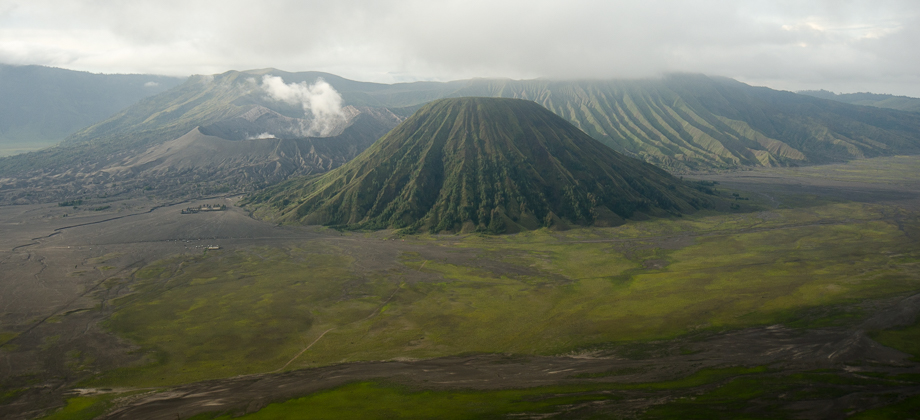
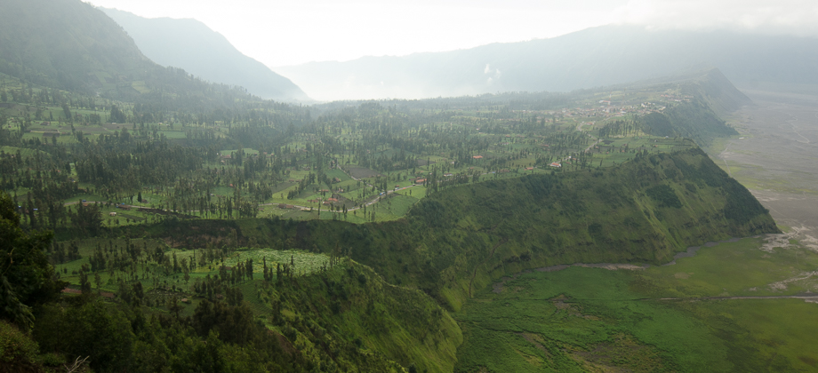
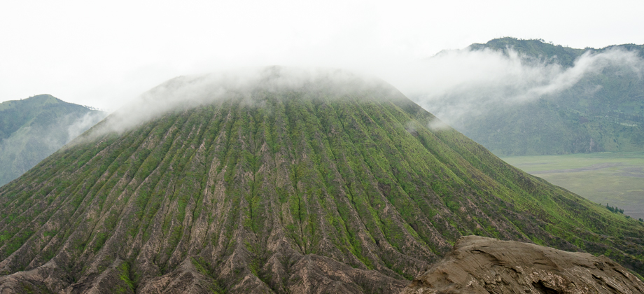
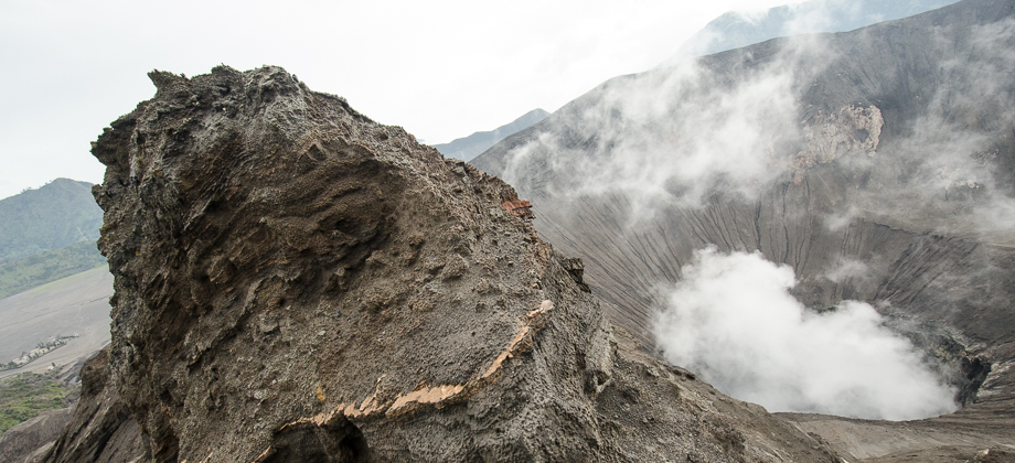
Mount Bromo
I had read up a bit on Surabaya prior to the Bromo trip and because it was reputed to be mainly a commercial metropolitan area without many attractions, I had decided to instead head straight for Probolinggo which lies about 45 kilometres from the Bromo-Tengger-Semeru National Park on the north coast of East Java. To get to Probolinggo from Juanda International Airport, I had to board a Damri bus that was heading Read more
1
February 23, 2013
Posted by Ramon Fadli in Broadleaf Rainforests, Class 6, Day Hike, Forests, Hiking, IUCN Protected Category 6, Malaysia, Mountains, Selangor, Tropical Rainforest, Waterfalls

